
 We drove up to Windy Pass on FR 9070 from Hyak at Snoqualmie Pass. We hiked south along the Pacific Crest Trail (OCT) for over 2 miles and took the boot track/scramble up to the Tinkham Tarns, 5 miles round trip with 1,300 ft of overall gain. It was cloudy in the morning. View of the ridge up to Silver Peak as we began the hike.
 Looking southeast to Mount Catherine
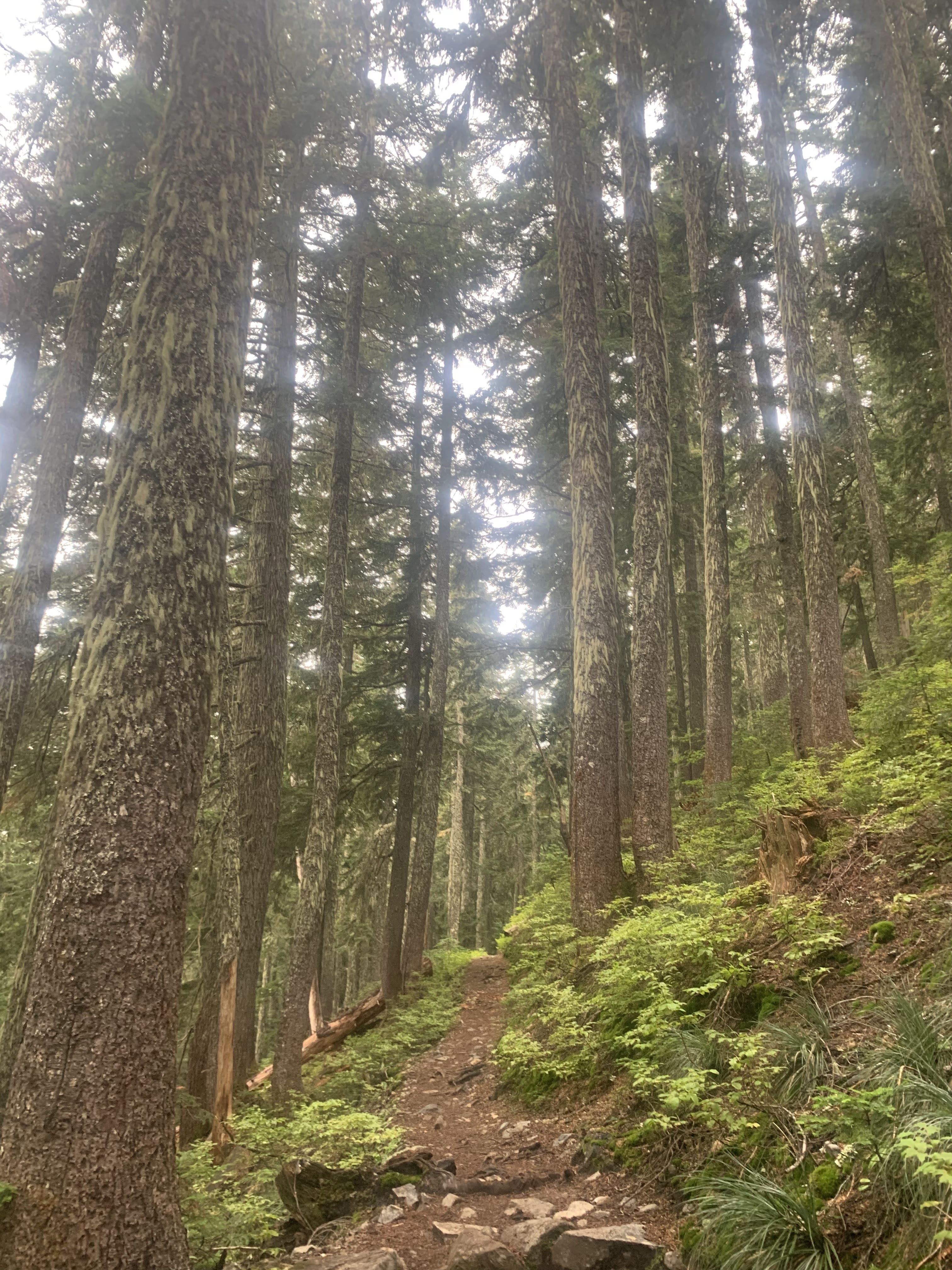 Gentle trail through the forest
 Heart shaped rock in the trail
 cloudy view to the east between the trees
 Lovely moss covered boulders
 We passed through several scree fields.
 There were several small ponds along the trail.
 Heading up the east side of the talus field on our way to the Tinkham Tarns.
 One of the Tinkham Tarns, it was cloudy when we arrived.
 View along the shore of the tarn
 Crossed over a short ridge of large boulders to view the other Tinkham Tarn

 There is a large scree and talus field on the west end of this tarn.
 As the clouds began to lift, we could see the cliffs of Tinkham Peak above the second tarn.
 We returned to the first tarn for our lunch break, beautiful color in the water as the sky began to turn blue above us.
 Another look over towards the second tarn.
 Heading back down the scramble route
 We saw another small tarn down to the east.
 View of the tarn from the shore, we then returned up to the scramble route down and rejoined the PCT heading north towards Windy Pass.
 Along the trail, we had a peekaboo view of Silver Peak.
 Nice to see blue sky as we continue our hike.
 Looking back at Tinkham Peak
 Other nearby peaks
 A clear view of Mount Catherine as we returned to Windy Pass
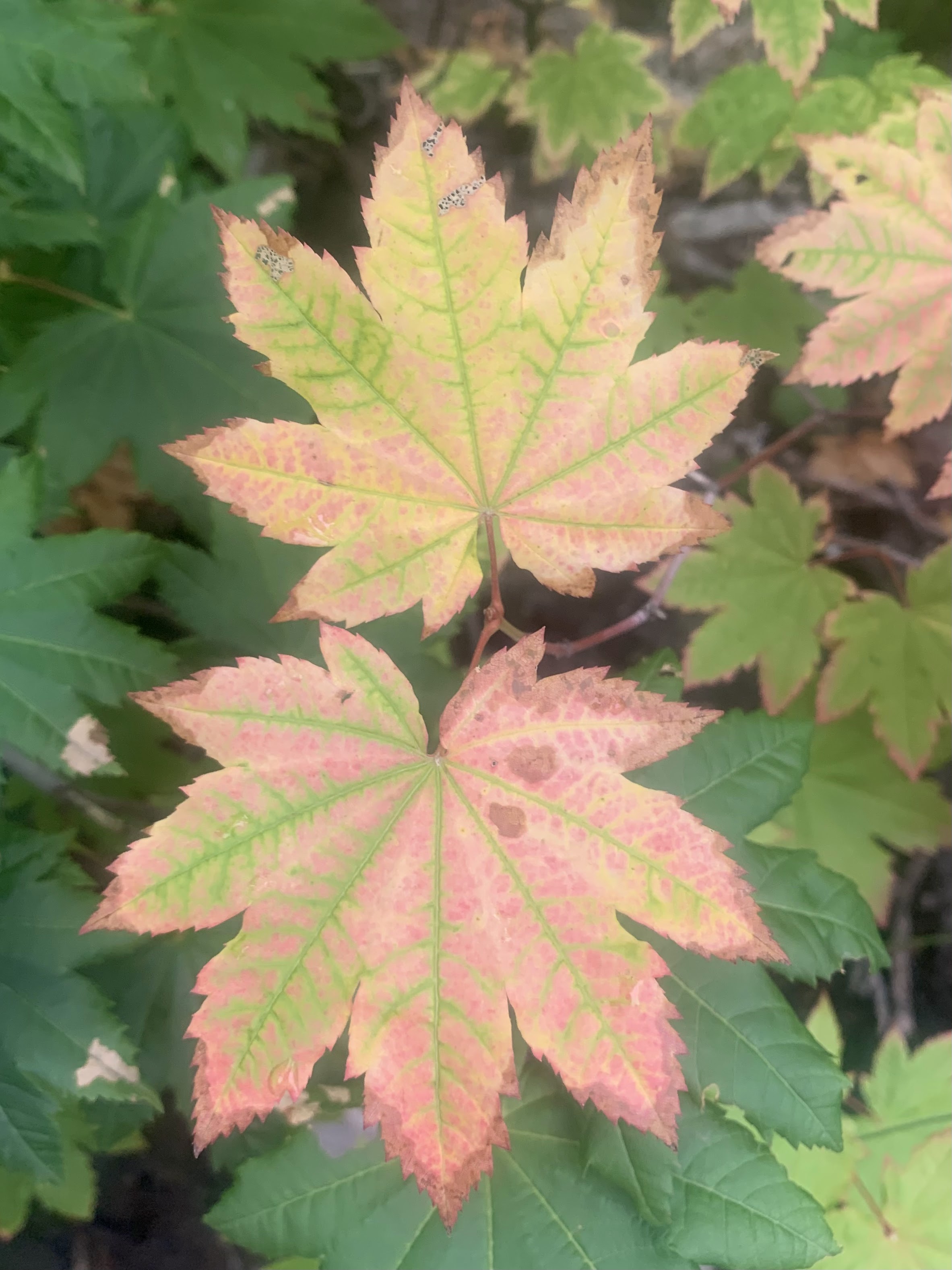
some of the wildflowers, fungi and fall colors seen along the trail today:


No comments:
Post a Comment