
 Drove up to Paradise at Mt Rainier National Park to hike the Skyline Loop trail, my route was 6 miles with 1.700 ft of overall gain. I waited for the rain to stop and started hiking in the clouds. The forecast was for mostly sunny, but Mt Rainier makes its own weather.
 I did not see any other hikers for the first 1.5 miles of my hike as I headed over to Mazama Ridge. I was completely along at Myrtle Falls and
 on the bridge going over Edith Creek,
  as well as the trail going over to and part way up Mazama Ridge. Creek cascading down the rocks by the trail.
 Small waterfall on the Paradise River heading up Mazama Ridge
 I saw a couple of grouse up on Mazama Ridge.
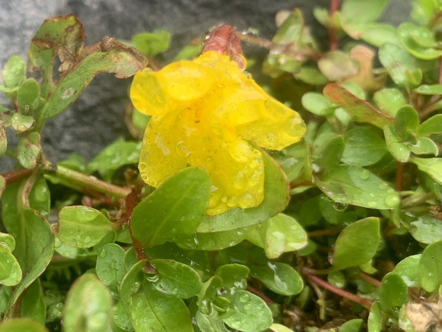
 Monkeyflowers growing beside the Paradise River
 Heading up the trail from Mazama Ridge, the clouds were moving enough that there were some peekaboo views of Mt Rainier.
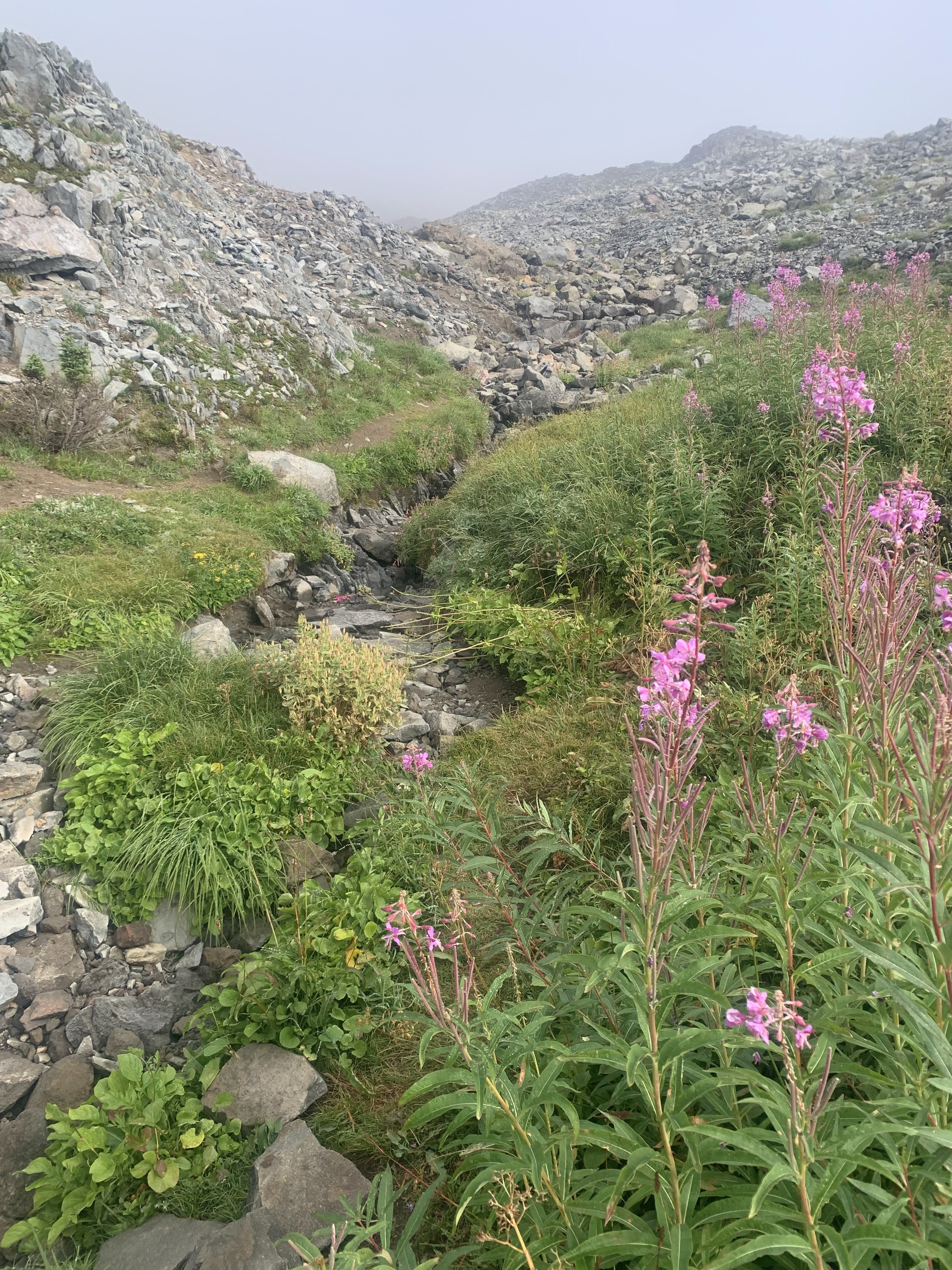 Fireweed growing along a creek near the trail.
 Happy to have more peekaboo view of Mt Rainier as the trail got steeper and steeper.
 The Tatoosh were completely covered in clouds.
 Great view of Mt Rainier with the clouds streaming up as I stopped for a lunch break at 7,000 ft.
 Wide angle view that opened up while I was enjoying my lunch break.
 As I hiked down below Panorama Point, the clouds would continue to move up and around the mountain.
 As I continued to hike down the trail, the clouds began to rise above the Tatoosh Range.
 A young marmot along the trail.
zoom of marmot


More cloudy views of Mt Rainier as I hiked down the Alta Vista Trail.


 Great view of the Tatoosh Range and fall color on the Alta Vista Trail.
some of the wildflowers, fall color and fungi seen along the trail today:


No comments:
Post a Comment