
We drove out to the Tunnel Creek Trailhead in the northeast Olympic Forest to hike up Tunnel Creek to Valhalla Peak, a 9.8 mile round trip hike with 2,900' of gain.
 The first 3 miles of the trail goes up about 1,200 ft on the north side of Tunnel Creek. We saw lots of bunchberries in bloom.
 There was lots of moss, ferns, and here trailing blackberries covering a log.
 There was lots of water in Tunnel Creek
 A log bridge crosses Tunnel Creek, and the trail becomes steeper going up several switchbacks.
 When we reached 4,500 ft, there were large snow fields and snow melt on the trail.
 a pond along the way
 snow melt made a waterfall
 deeper snow as we made our way up to Harrison Lake
 Harrison Lake with a view of Valhalla Peak, Harrison Lake is about 1 mile after crossing Tunnel Creek
 We climbed up this steep snow section on the way to 5050 pass.
 We found a lovely boulder to sit and enjoy our lunch with views of Valhalla Peak and Mt Constance.
 From 5050 pass, there is a steep 0.2 mile trail up to the top of Valhalla Peak, great views down the Dosewallups River drainage area to Hood Canal, Puget Sound and Mount Rainier.
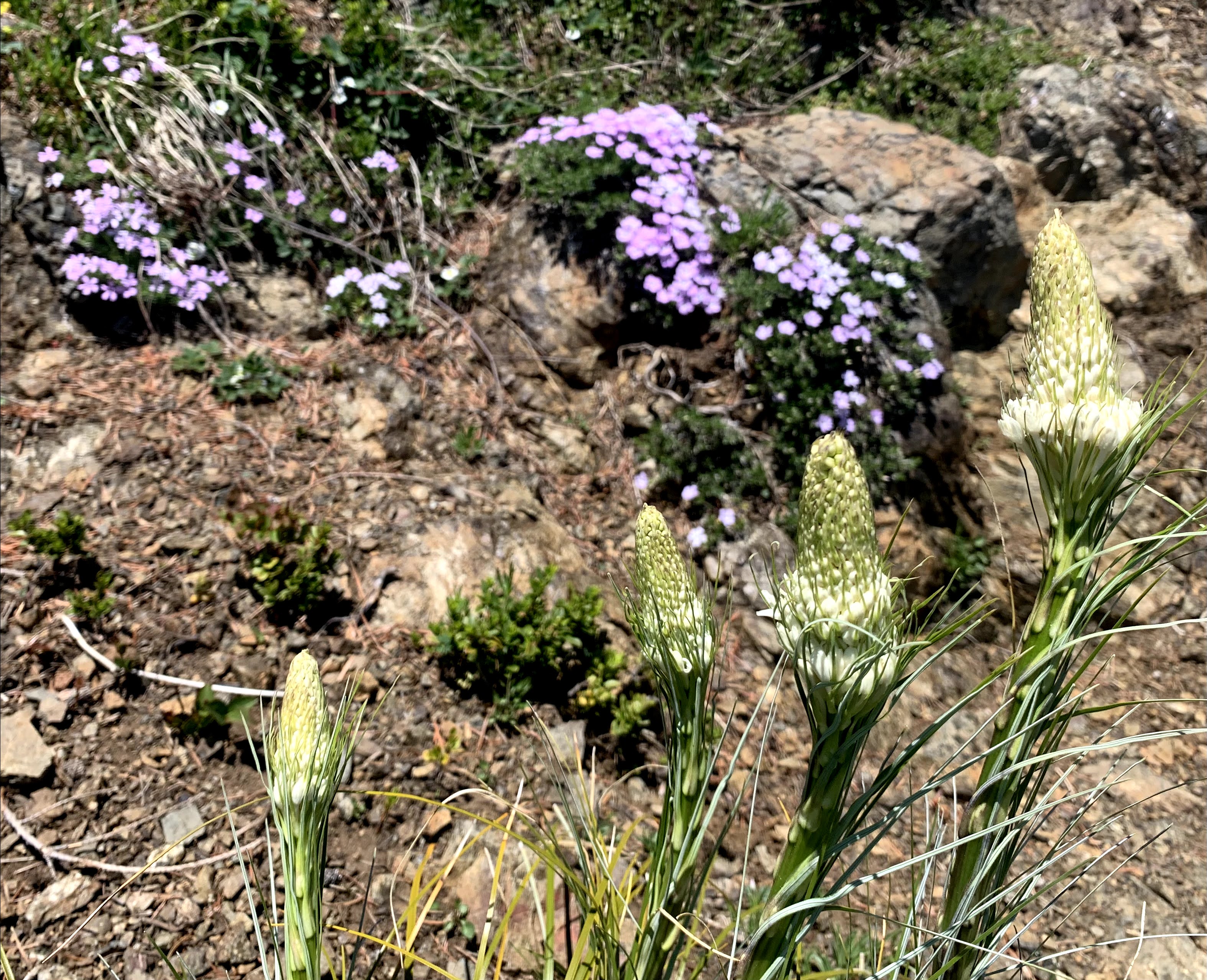
 The beargrass is just beginning to bloom, view of the Brothers to the south
 On the top of Valhalla Peak
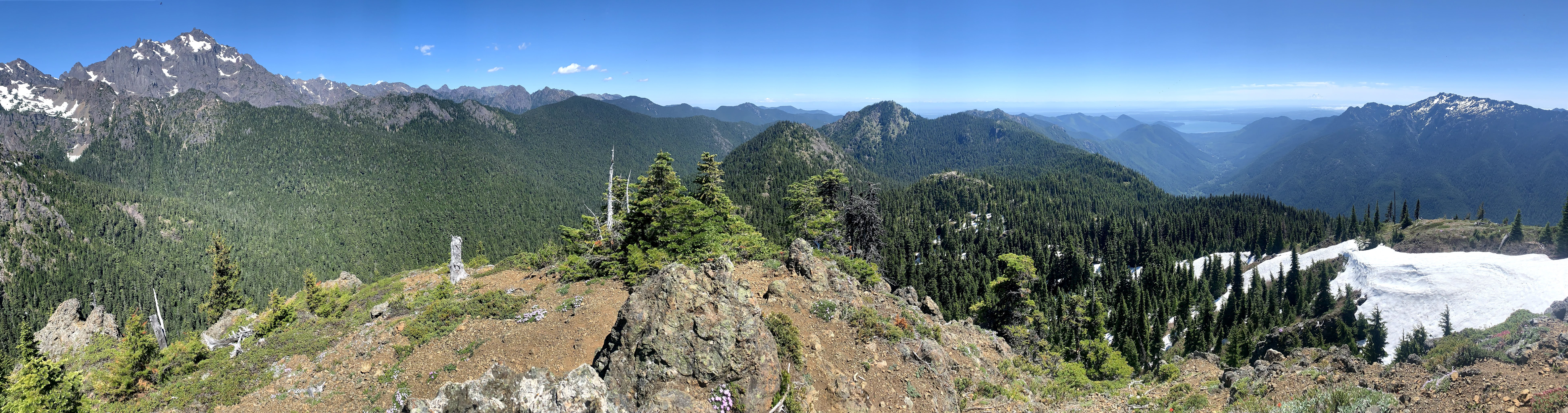
pano to the south: distant Mt Rainier, Mt Jupiter, the Brothers and around to the north Mt Constance

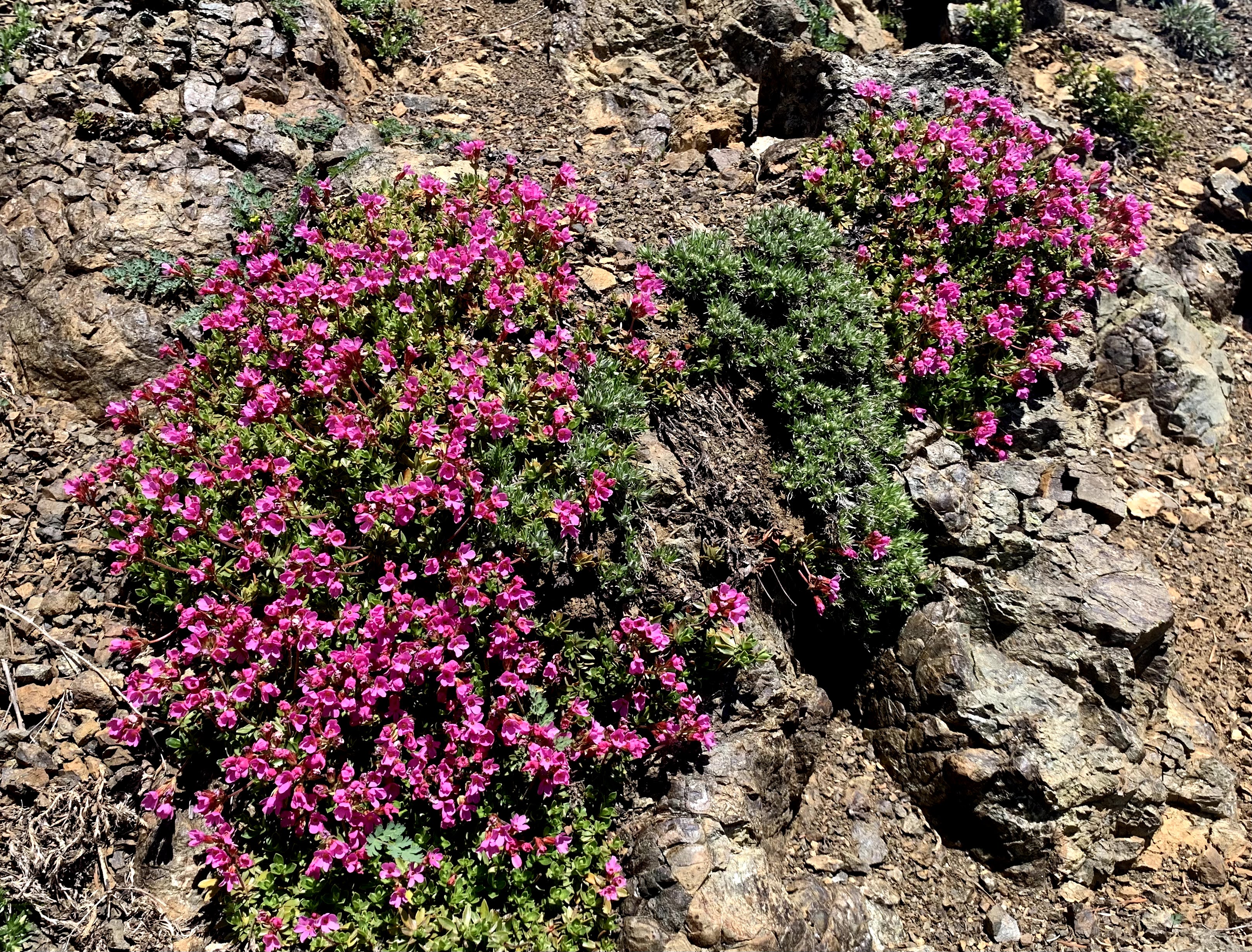
 phlox on Valhalla Peak with a view of Mt Constance
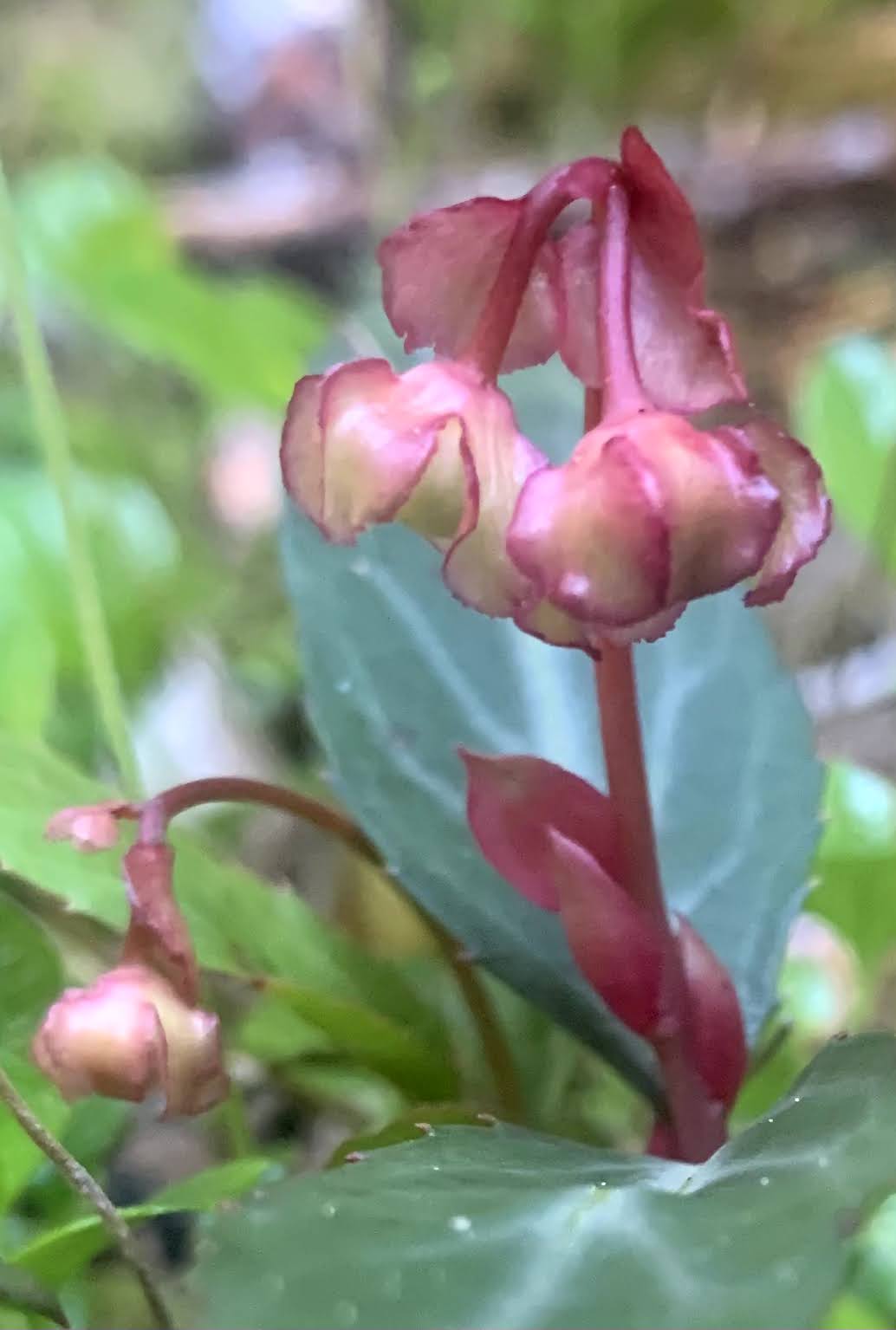
some of the wildflowers we saw along the trail today:


lots of fungus on this log

No comments:
Post a Comment