Friday, May 10, 2013

Mount Rose Hike Washington

Great Spring Conditioning Hike in the Olympic National Forest about 2 miles before the Staircase entrance to Olympic National Park. There are views and the trail is accessible when many of the taller peaks are covered deep in snow. The hike up is 3,500 ft elevation in 3 miles.
The trailhead is across the road from Lake Cushman.

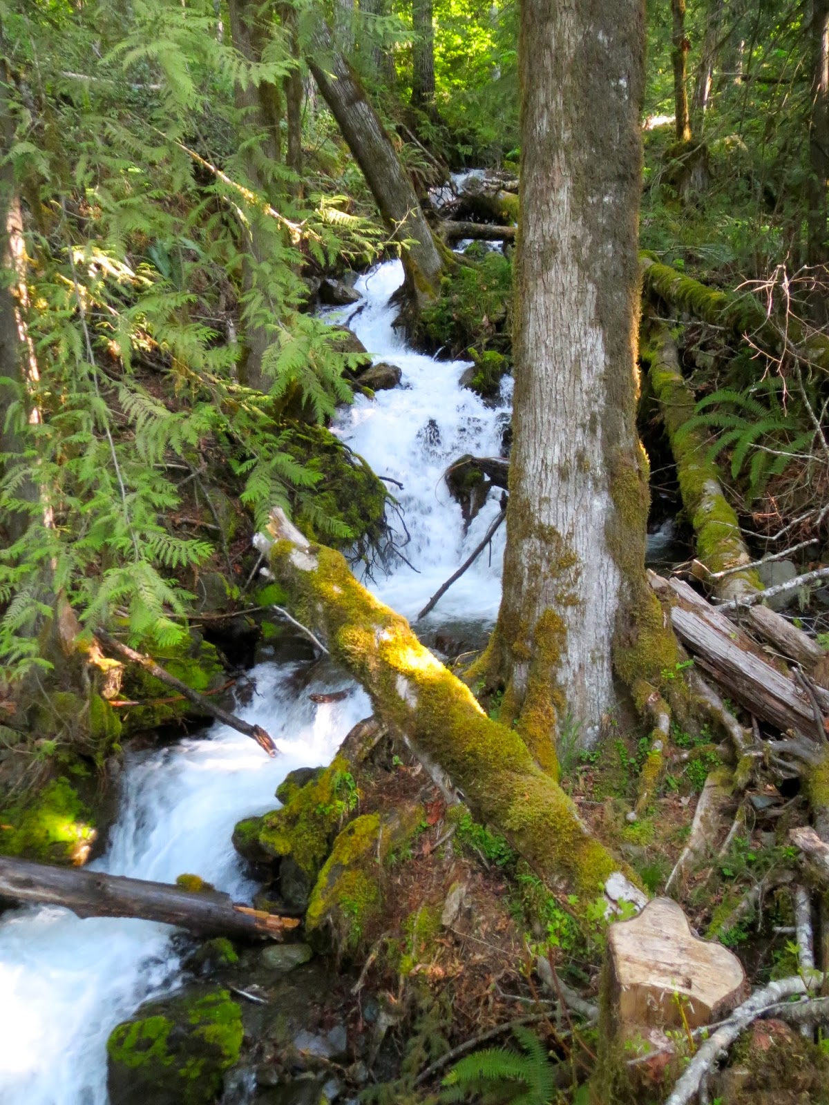
Before all the snow melts off the top of Mount Rose there are some streams with small waterfalls. 
Most of the steep trail up is in the cool forest.

At 1.8 miles we've climbed 2150 ft, the trail splits making a circular loop around the summit. 
We took the more direct trail to the top on the left.
0.25 miles up the trail we ran into snow, it wasn't deep, we didn't need snowshoes. 
The way up was marked with orange ties on the trees.
On the top in the open sun, the snow had melted away.
A short distance before the true summit is a large rock outcropping with a gorgeous view of Lake Cushman extending towards Hood Canal. We could see the Cascade Mountains in the far distance.
Soon we were at the true summit, which is on the southwest edge. Great spot for a lunch break.
We saw the north end of Lake Cushman
and the Olympic Mountains to the west.


Saturday, May 4, 2013

Ingalls Creek Hike

We headed to the east side of the Cascade Mountains, north of Bluett Pass
Hiked about 12 miles with 1200 ft elevation gain.
The trail follows Ingalls Creek for most of the way with a gentle elevation gain.
 As the trail climbs, we began to get views of the Cascades surrounding the valley
 At the area of Falls Creek Trail, there isn't a bridge or marked way across. We found several downed logs to cross Ingalls Creek.
 
 Not crossing on an "official" trail, we did some scrambling until we saw the waterfall from Falls Creek in the distance. We scrambled up some rocks to find the trail, ate lunch and enjoyed the views across the valley before returning back across Ingalls Creek and down the trail.
 
Some of the wildflowers we saw in bloom.


Thursday, May 2, 2013

Duckabush River Hike, Murhut Falls Trail & Ranger Hole Trail Washington

Beautiful Spring Day, we did 3 hikes in the Duckabush area of the Olympic National Forest
for a total of 14 miles and about 2800 ft elevation gain.
First the 10.6 mile round trip up the Duckabush River to 5 mile camp
 The first 2 miles are easy, up and over Little Hump (200 ft elevation)
where the trail takes you to where you can see the river and hike along it for another mile.
After crossing Little Hump, you enter The Brothers Wilderness.
 Next comes Big Hump a 1000 ft clim with switchbacks in the cool forest. 
We met this deer along the way.

About 3.5 miles from the start of trail, you come to a ledge
 with views of the surrounding Olympic Mountains.
The trail descends 650 ft and you arrive at 5 mile camp. 
(It's possible to continue hiking along this trail into Olympic National Park)
Beautiful spot to enjoy lunch and watch the river.

On the way back, it is up and over Big Hump & Little Hump again.

 We saw a variety of wildflowers in bloom.


Within two miles of the trailhead to the Duckabush Trailhead is the trailhead to Murhut Falls a short 0.8 mile walk up 300 feet to the spectacular Murhut Falls.
There are some small falls lower down Murhut Creek, 
enjoy, but don't turn around here thinking you've seen the falls continue on the trail
until the trail ends where
 Murhut Creek falls 130 ft on its way to the Duckabush River
 On the way back to Hwy 101 there was plenty of daylight, so we stopped at the Ranger Hole Trail.
This trail is a little over 1 mile one way, and drops about 200 ft, which you go up on the way back.
 Just above Ranger Hole, the Duckabush River is squeezed between these boulders 
in a narrow chasm and comes pouring out below.
 
 The Duckabush River widens out and slows down, here is Ranger Hole,
the favorite fishing spot of a Ranger in the early 1900s
More wildflowers in bloom


Tuesday, April 23, 2013

Mount Walker Spring Hike Olympic National Forest

With the forecast of partly cloudy, wanted to revisit Mount Walker to see the views.
 We hiked the 2 mile, 2000 ft elevation gain trail in 70 minutes!
From the Nort View Point, we could see the Olympic Mountains to the Northwest
 and to the Northeast, Quilcene, across Hood Canal and Puget Sound to Mt Baker.
From the South viewpoint, we cold see across the Kitsap Peninsula 
to the Seattle Skyline and to Mt Rainier


On the hike back down the trail we saw this squirrel 

and these Calypso Orchids,
also called Fairy Slippers.

Saturday, April 20, 2013

Lower Dungeness River Hike in Washington

Nice low altitude conditioning hike to take in Spring time in the Olympic National Forest
We hiked about 12.6 miles round trip with 2000 ft elevation gain. 
he trail had some nice wooden bridges and walkways, but they were more slippery than the slightly muddy trail. There were many small creeks and waterfalls along the trail.

in the first two miles we climbed up 1000 ft, the clouds parted and we saw Iron Mtn in the distance

 we hiked down about 500 ft to the Dungeness River and followed the river to the upper Dungeness River trail head with more ups and downs, along this beautiful river
 And there were some early wildflowers in bloom.


Saturday, April 13, 2013

Snowshoe to Carter Falls at Mt Rainier

 We went about 6.5 miles round trip with 900 ft elevation gain. The trail out to Carter Falls starts at Longmire on Mt Rainier and goes along a small portion of the Wonderland trail. 
The trail parallels the road to Paradise until you reach Cougar Campground.
A log bridge takes you across the Nisqually River. 
The log was very icy, we removed our snowshoes and put on Yak trax  to cross.
The trail to Carter Falls is to the right, then goes to left behind the river bank.
 The trail continues up along the Paradise River.
 About 3.3 miles we reached the lookout over Carter Falls.
 We tried to find the trail to Madcap Falls, only 0.2 miles further on, but there were no tracks to follow.
We did find the site of where there was an old dam before we turned back.