
 We drove out along the North Fork Teanaway Road to the Iron Peak Trailhead. Along the way we had to wait for a buck to slowly cross the road. We hiked 6.5 miles round trip with about 2,450 ft of gain. We only saw 3 other hikers on the trail.
 View of Esmeralda Peaks from the trailhead.
 The trail gains steady elevation on the way to El Dorado Pass. View of Kopek Mountain across the road to the west.
There was lots of hoar frost on the lower part of the trail.
 View of Esmeralda Peaks and South Ingalls Peak to the north.
 There was snow on the trail starting at 5,000 ft.
 View of a distant Mt Rainier to the west
 zoom of Mt Rainier
 View of Teanaway Peak as we neared El Dorado Pass
 We took a short break at El Dorado Pass, view to the east
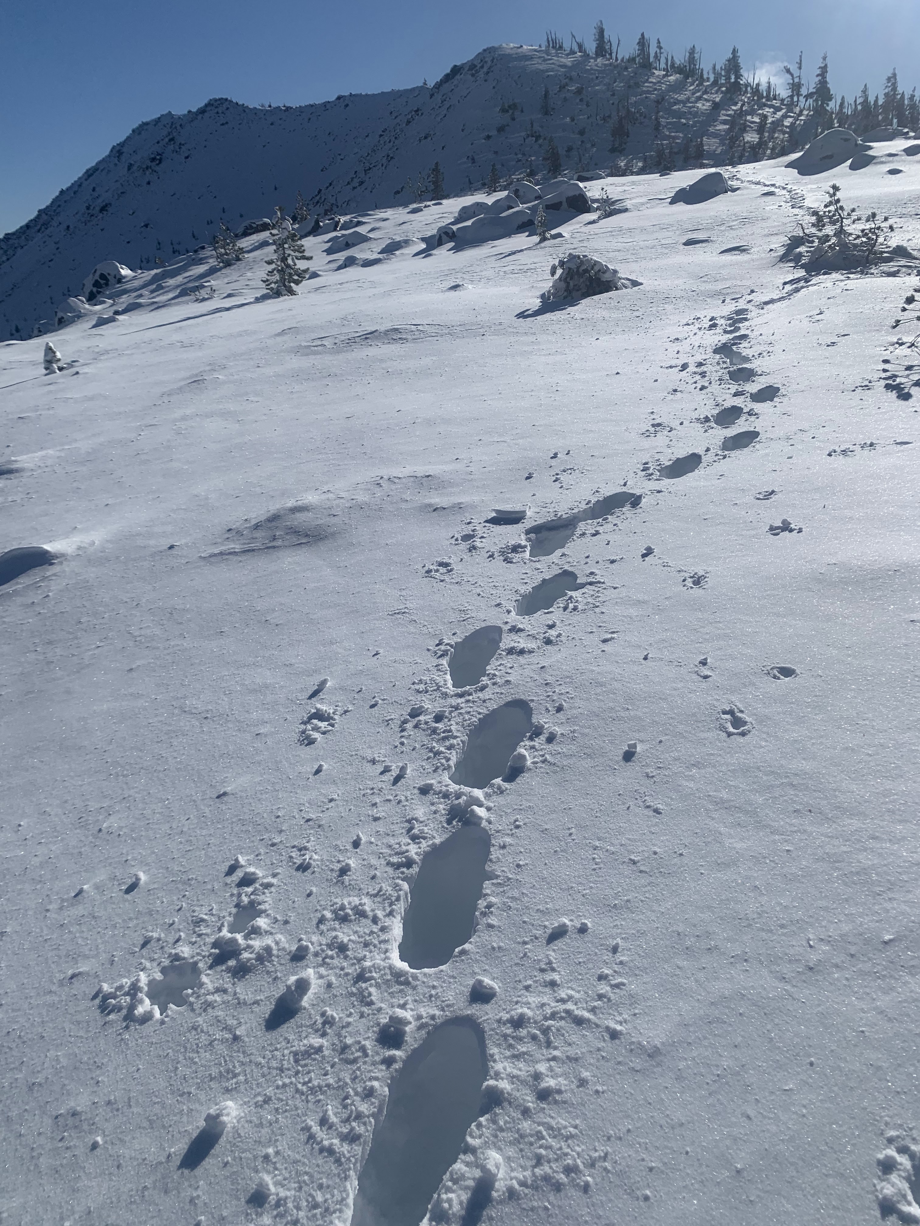 Then there was a steep ascent heading up to Iron Peak with deeper snow, there was only one hiker in front of us.
 View to the northwest as we continued up
 zoom of some of the peaks the distance from further up the trail
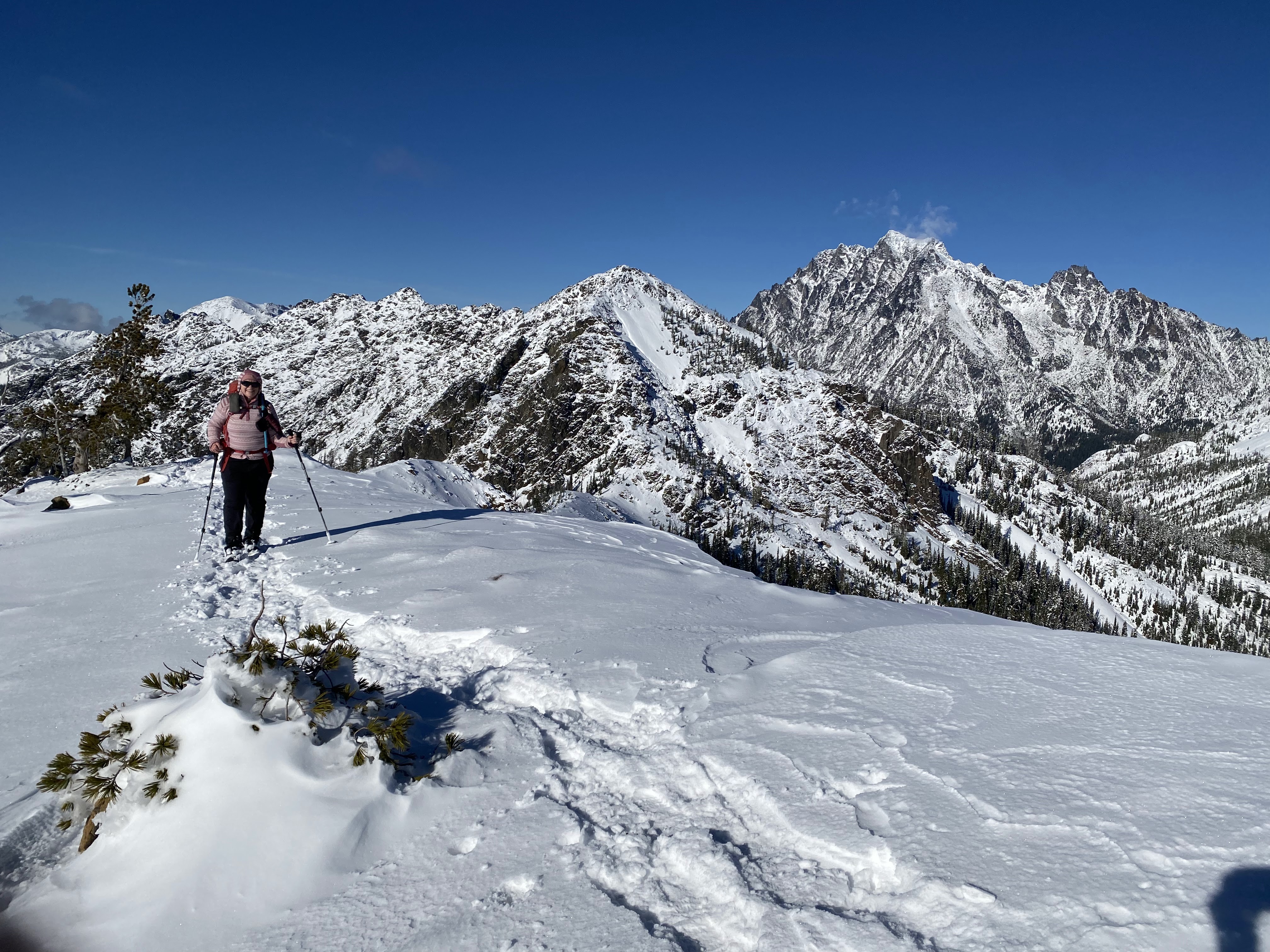 Up on the ridge near the top of Iron Peak, Mount Stuart to the right.
Wide angle view to the north:

 Distant views of Mt Rainier and Mt Adams to the southwest
 We stopped about 0.25 mile from the official top of Iron Peak, I was not comfortable with the exposure in the snow.
 Small cloud above Mount Stuart on this gorgeous day.
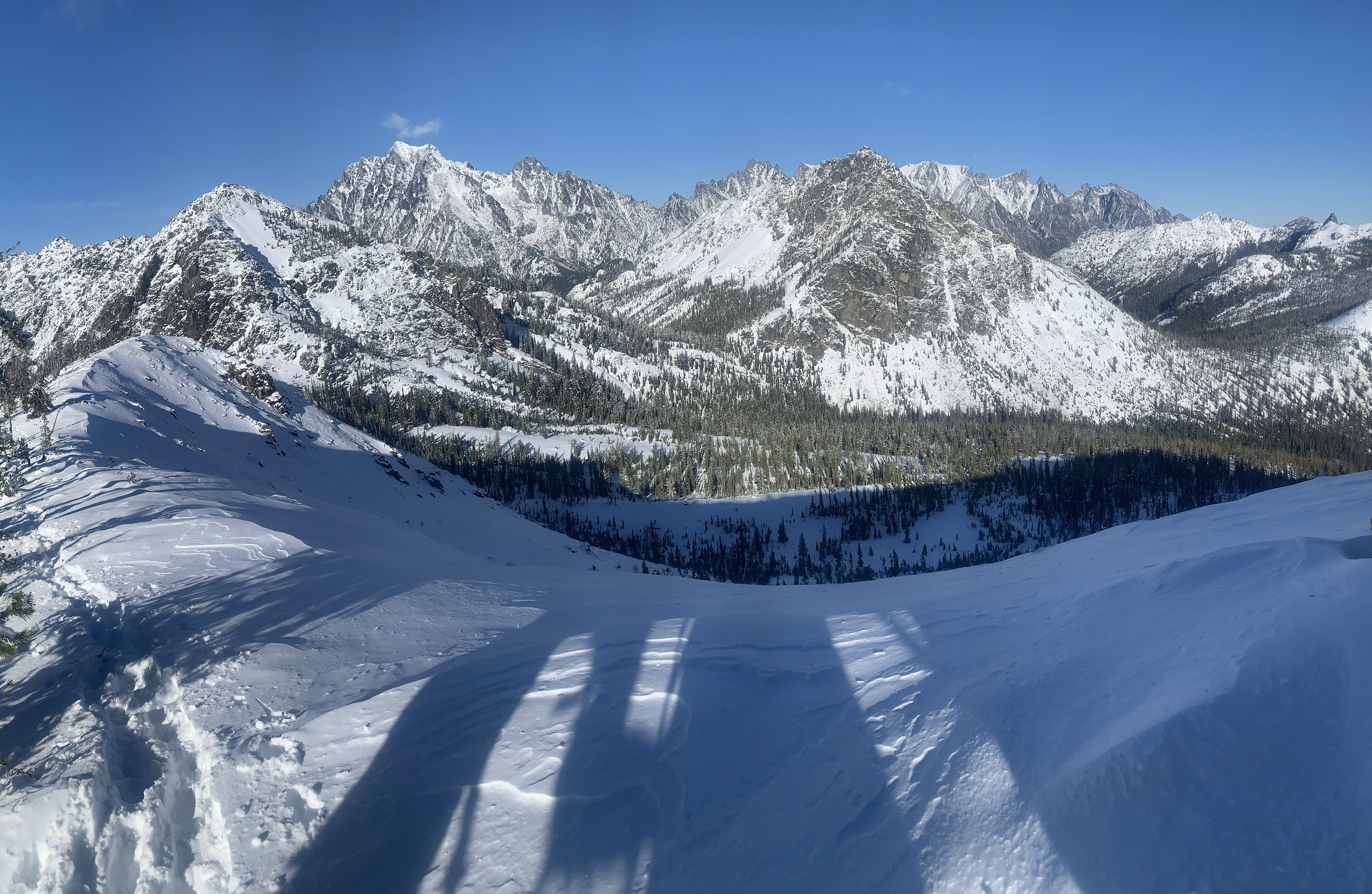 Another view
 Near where we turned around on Iron Peak today.
 View looking down towards El Dorado Pass and Teanaway Peak on the other side as we hiked down the trail. Glad we now had a broken in trail to follow.
No comments:
Post a Comment