
 We drove up to the Upper Mt Townsend Trailhead in the northeast Olympics to hike up to Mount Townsend today, overall we hiked 9 miles round trip with 3.000 ft of gain. The trail enters the Buckhorn Wilderness about 0.8 mile. We started hiking in snow about 1/2 way up the trail.
 Snowy peak seen through the trees.
 As we gained elevation, we could see Glacier Peak to the east across Hood Canal and Puget Sound.
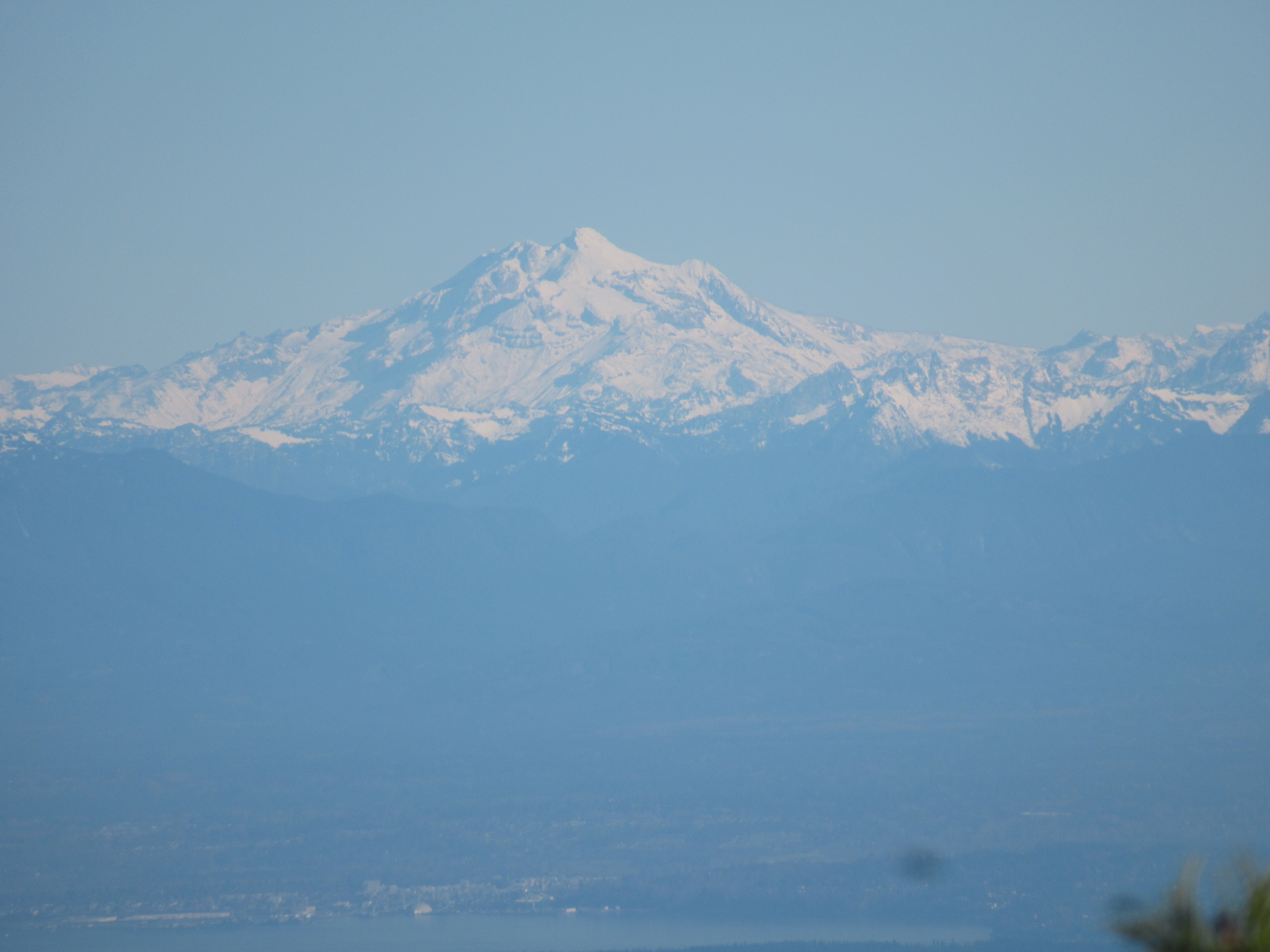 zoom of Glacier Peak
 Wider view a short way up the trail.
 Further up the trail we could see Mt Rainier to the southeast.
 zoom of Mt Rainier
 And further up the switchbacks, we could see Mt Baker and Mt Shuksan to the northeast.
 zoom of Mt Baker and Mt Shuksan
 Olympic Peaks to the west from the saddle of Mount Townsend.
 Wind sculpted snow above the saddle.
 Some of the trail going up to and along the top of Mount Townsend was bare of snow. Mount Townsend peak in the distance.
 View to the southeast
 view to the west
Final stretch to the top of Mount Townsend 

 Looking south towards Mount Constance and other Olympic Peaks
 Views from the summit looking eastward:

 View to the north and the peak on the northland of Mount Townsend
 distant view of Mt Rainier along the top of Mount Townsend
 view to the west
 view to the southwest
 From the north peak, looking northeast towards the Canadian mountain peaks and
 to the northwest towards Vancouver Island.
 Looking back to the peak of Mount Townsend to the south. We took the trail along the west below the summit on our way back.
 For a while, we were only following deer tracks.
 Another look to the south from above the saddle. including The Brothers and Mount Constance in the distance.
 Views to the east
 some lovely lichen on a tree as we continue down the trail in the woods
 Welsh Peak
No comments:
Post a Comment