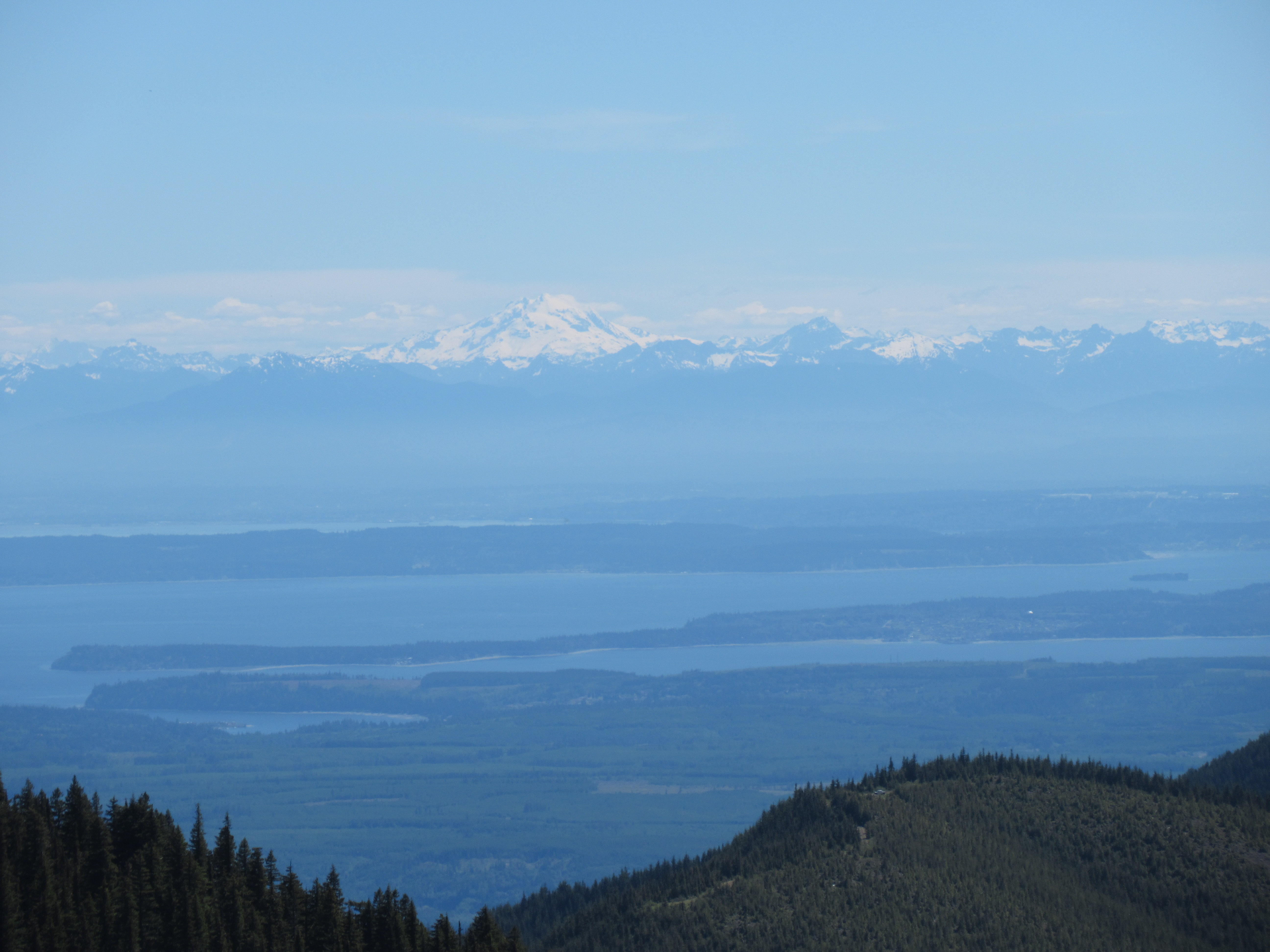
Drove up to Hurricane Ridge to hike the Hurricane Hill Trail, overall 4 miles round trip with 640 ft of elevation gain. It was a beautiful day with gorgeous views. Lots of deer were seen along with marmots and rabbits. The wildflowers seem to be just beginning to bloom. View of the Olympic Peaks to the south from the main parking area near the Visitor Center.
 zoom of Mount Olympu
 The trail to Hurricane Hill begins at the end of the Hurricane Hill Road. The first mountain views are to the west and south west.
view looking towards Hurricane Hill to the north
 lupine beside the trail
 douglasia and phlox
 Olympic Peaks to the west across the Elwah Valley
 There were 2 places along the paved trail that still had snow.
 deer on the slope below the trail
 rabbit near the trail
view looking south from further up the trail

 deer in the meadow below the trail
 marmot in the meadow below the trail
 more mountain views
 paintbrush alongside the trail
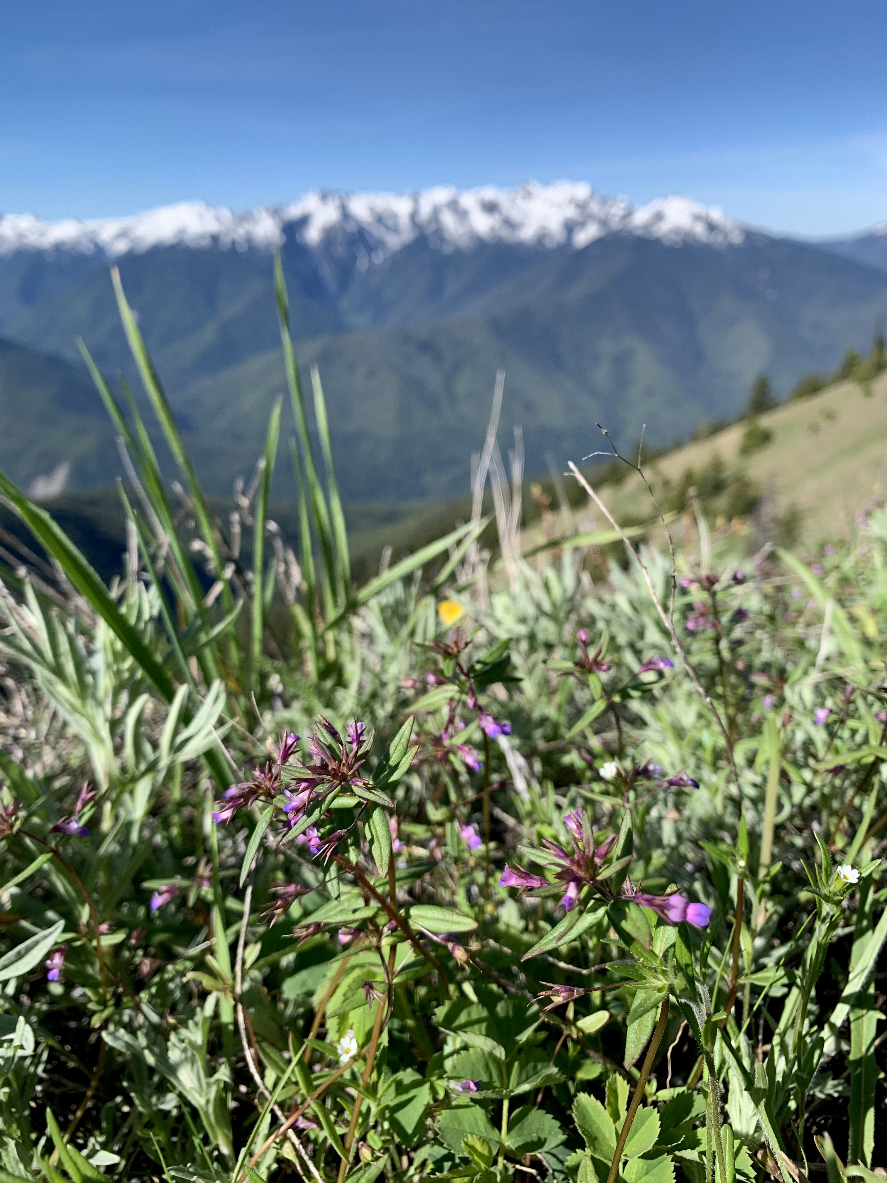 blue-eyed Marys
 marmot in the meadow above the trail
 The last bit up to the top of Hurricane Hill is on a dirt trail
 From the top of Hurricane Hill looking north across the Strait of Juan de Fuca
pano looking south

pano to the west including Mt Angeles and a distant Mt Baker

 views form Hurricane Hill to the south

I walked on the snow to the east side of Hurricane Hill and did not find the views and better
 I then went west along the upper part of the Elwah Trail up on Hurricane Hill. This buck was near the trail.
 The snow was well consolidated and easy to walk on.
view to the northwest from the west end of Hurricane Hill, lots of snow on the north side.
 I saw this doe on my way back to the main Hurricane Hill trail.
 a buck below the top of Hurricane Hill
 glacier lilies and spring beauty in the upper meadow
 As I was returning down the Hurricane Hill trail, this doe walked past me right next to the trail.
 view Mount Angels to the east
some of the wildflowers seen along the trail today: