Sunday, March 9, 2014

Upper Dungeness River Winter Hike Washington

 With rain forecast for most of Western Washington today, up to 7000 ft, we decided to head out to Washington's rain shadow: Sequim. It was raining until we pulled off onto Louella Road, we were rewarded with clouds parting and a glimpse of the Olympic Mountains.
 As we continued up on Forest Road 2880 we saw lots of blue sky and more views of the mountains. We also saw a fisher run across the dirt road, this is the first time I've seen one in the wild.
 I was surprised to see snow at 2500 ft, there was quite a bit in the parking lot. We had left our snowshoes at home, so we only made a 5.2 mile round trip with 500 ft elevation gain. We didn't see any people prints on the trail, so it looks like no one has been one the trail since the last snow storm. We saw lots of animal prints: deer, wild cat and a smaller print I hadn't seen before, maybe the fisher?
There were lots of streams crossing the trail, as the snow is melting.
 At one mile we crossed Royal Creek on this log bridge as we continued up the Dungeness River.
 As the trail continued in the forest, the snow got a bit deeper, and we ran into several places where the trail was a creek. We went off trail onto the snow when the water was deep.
 We were rewarded with our efforts, when the sun came over the ridge and brightened our path.
 At 2.6 miles another log bridge crosses the Dungeness River and continues on to Camp Handy (another 0.8 miles) and after that you can choose to hike out to Heather Creek (another 3+ miles) or up to Boulder Camp (another 3 miles and 1800 ft elevation gain) and even further to Marmot Pass and beyond.
We found a place in the sun to eat our lunch and decided to head back. The log looked slippery, the river deep and flowing fast. I didn't want to risk falling in.
 Heading back to the trailhead, clear view across the river and a view of one of the Olympic peaks.
We saw some type of a monotrope, pine drops maybe? Maybe spring will be here soon.

Saturday, March 1, 2014

Kendall Peak Lakes Snowshoe Washington

 Today we headed up to Snoqualmie Pass for a great snowshoe hike. The trailhead to Kendall Peak Lakes is across I-90 from Hyak. The trail mainly follows a logging road. We went around this downed tree early on. This is a popular hike, so the snow was nicely packed down for us. It is a 9 mile roundtrip hike with 1900 ft of elevation gain.

As we followed the logging road up on top of the ridge, the wind was very cold, we were glad when the trail left the road and went into the woods towards the lakes.


 The lake is in a nice sheltered area, very little wind here. We sat by the frozen lake enjoying our lunch.


On the way down, we took the spur trail to the overlook, not much of a view with all the clouds today. But we spent a little more time in the beautiful outdoors!


Wednesday, February 26, 2014

Mount Rose Winter Hike & Snowshoe Washington


A beautiful sunny day in the end of February. We drove out to the Olympic Peninsula to go hiking. Looking across Hoods Canal we could see our destination: Mount Rose, the peak on the left of the range in this picture. The trailhead is 12 miles west of Hoodsport, WA.

The parking for the trailhead is across the road from Lake Cushman. The trail starts at 800 ft elevation.
It felt like a spring day.

The trailhead is a short walk from the parking lot, you cross two small streams over wooden bridges. There are small waterfalls as the streams cascade down the hill.
The trail up to the summit of Mount Rose is 3 miles and 3500 ft elevation gain (via the left summit route). There is a summit loop trail, but we did not see any tracks going around the summit, so we choose to hike up and back on the left summit route, which is shorter, but steeper.

This is a steep hike, at 1.1 miles and 1200 ft elevation gain, you enter the Mount Skokomish Wilderness. 0.7 miles further on, you'll have climbed an additional 1,050 ft as you reach the junction of the summit/ridge loop trail. Then there is an additional 1.1 miles of trail with an additional 1,250 ft of elevation gain to the summit.


 About 1/4 mile after the junction with the loop trail, the snow was deep enough that we needed to wear snowshoes.
 About 1/4 mile shy of the summit, we stopped at an open area in the sun to eat our lunch and enjoy the views to the south and east. Looking down at Lake Cushman, over the low hills to Hoods Canal, and in the distance we could see Mt Rainier, Adams & St Helens
 There were several gray jays trying to steal our lunch.

 The last 1/4 mile to the summit was steep.
The summit is a small rock cropping at 4300 ft elevation.

From the summit, we had views of the southern Olympics and
 the north end of Lake Cushman. The trees at the top of Mount Rose kept us from seeing the cascade mountains we had seen from the view point below.

 The return trip, descending the in the steep snow covered slopes, was almost as strenuous as the hike up.
This is a great conditioning hike.


Saturday, February 22, 2014

Copper Creek Hut Snowshoe Washington

Another trip up near Ashford, Wa on the way toward Mount Rainier. These trails are groomed by the Mt Tahoma Trail Association. This snowshoe trip is usually 8 miles round trip with 1000 ft elevation gain, when starting from the upper Sno-Park lot. Because of the recent heavy snowfall, only the lower Sno-Park lot was open. This adds 2.6 miles to the trip (for 10.6 miles RT) and an additional 300 ft elevation gain. A good trip on packed snow. We were able to hike about 1/4 mile along the road before putting on our snowshoes.


This is a map of the North trails.

After 1.3 miles and 300 ft elevation gain, we reached the traditional start of the snow trail. You gain see how much snow fell this week at 3300 ft by the snow on the roof over the signs on the right.


After 5.3 miles and 1300 ft elevation gain from where we parked the car, we reached Copper Creek Hut. It was so nice to go inside to warm up and eat our lunch before snowshoeing back to the car.
For those spending the night up at the hut, there are several trails you can explore in the area.
On a clear day, there are views of Mt Rainier and the Nisqually River Valley.


A beautiful walk in the snowy woods today!


Wednesday, February 19, 2014

High Hut Snowshoe Washington


We've had lots of fresh snow, with high avalanche warnings. So we headed up to one of the Mount Tahoma Trails in the Washington State Forest outside of Ashford. The trail head is about 9 miles from Hwy 706. We choose to hike up to High Hut. It's about 8 miles round trip with an elevation gain of 2400 ft.
The road was only open to the lower Snow Park parking lot. We didn't need to put on our snowshoes until we reached the upper Snow Park parking lot.

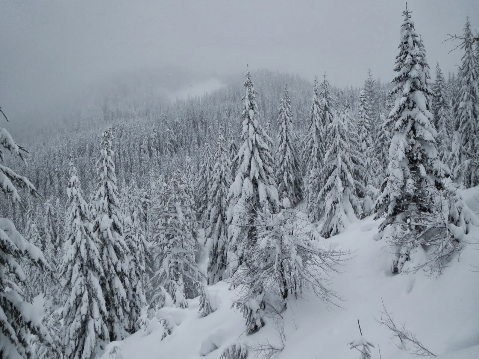
 Then we had lots of fresh powder to snowshoe in. We were the first ones up the trail today. The higher we climbed, the deeper the snow was. About halfway up, we met a couple snowshoeing down, who had spent two nights at High Hut, this gave us a nice trail to walk up.
It was a beautiful winter wonderland today!


 The last mile is a bit of a climb, 800 ft up to an open ridge. When you see this sign, you are almost to High Hut.


 High Hut over looks a beautiful vista, and on a clear day, there is a great view of Mount Rainier. Today, we mostly saw clouds. We enjoyed to opportunity to eat our lunch in the warm, dry lodge out of the wind. There is no charge for daytime use.
We got a few glimpses of the valley below.

Happy that we made it High Hut today, and heading back down the trail.

Sunday, February 9, 2014

Rampart Ridge Loop (and a bit more) Snowshoe hike on Mt Rainier

With fresh snowfall overnight and the avalanche danger at considerable for tree line and above, we decided to go to Longmire on Mt Rainier for a lower elevation snowshoe trip without the dangers of avalanche. The Rampart Ridge Loop Trail is 5 miles with 1300 ft elevation gain, we did the loop and took a side trip up Van Trump Park trail for a mile out and back with an additional 500 ft elevation gain for a great day's outing.
We started across the road from the Longmire parking lot, The southern end of Rampart Ridge is in the background.
It is a nice hike it the forest. We were the first ones up the trail this morning. Lots of pristine snow.


A little shy of 2 miles, there is an overlook, looking across Longmire and the Nisqually River in the valley below.
We soon crested the ridge of this lower section, into an open section of the trail. A great place to eat lunch and enjoy the view looking over Kautz Creek and towards Satulick Mtn, Iron Mtn and Copper Mtn (whose peaks all remained cover in clouds). Mt Rainier also remained cloud covered today.


 The trail descends about 250 ft where it joins the Wonderland Trail, heading east takes you back down to Longmire. It was early in the afternoon, the day was nice, and we still had lots of energy, so we decided to continue up Rampart Ridge along the Van Trump Park trail for about another mile and gaining about  an additional 500 ft. We had this trail to ourselves. We continued until our agreed upon turn around time of 2pm, then headed back toward Longmire.
As the loop trail nears Longmire,  there is an opening in the trees, you can look up and see the "Ramparts", sheer rocky cliffs, where the trail stays back in the woods.

Sunday, February 2, 2014

Ranger Creek Trail and more winter hike Washington

We originally planned to snowshoe along Hwy 410 where the road is closed, because the avalanche danger had been set at considerable. There wasn't much snow there, so we decided to do a lower hill hike for conditioning. We decided to hike up to Little Ranger Peak from the east side, going up the Ranger Creek Trail. In November, we had hiked up to Little Ranger Peak from the west side on the Palisades trail. We couldn't find the parking on the "right" side of the hwy or trail signs from the highway leading toward the Ranger Creek Trail. Finally, decided to park near the Snoquera Falls trailhead and hike 2 miles up the White River trail to the Ranger Creek Trail. From the description in the hiking book, we thought once we reached the Ranger Creek Trail, it would be 2.6 miles to Little Ranger Peak. We found out that only took us to a look out, so we kept hiking. We hiked out for 7 miles from the car with about 2000 ft elevation gain, 14 mile round trip.
 The first two miles were along the White River Trail, a nice hike in the woods. Once we reached the Ranger Creek Trail, the trail begins to climb, with many switch backs. We started at 3000 ft
 After another 2.6 miles and 800 ft elevation gain, we reached the short spur to the look out. We enjoyed the sunshine and the view to the east. The trees to the right blocked our view of Mt Rainier.

After another 2.2 miles and another 1200 ft elevation gain, we reached the shelter. We were now hiking in snow, but it wasn't deep. No snowshoes needed today.


We decided to keep hiking to see if we could reach Little Ranger Peak. We hiked about another 1/2 mile along the ridge line at 5000 ft. We got a little glimpse of a view between the trees, but it had clouded over and there wasn't much of a view. As the trail started to descend toward Little Ranger Peak, it was 2 PM, our turn around time.
We didn't reach Little Ranger Peak today, but we had a great day outside today!