
Drove up to the Upper Mount Townsend Trailhead off of FR 27 to FR 190 in Olympic National Forest. The hike is 8 miles round trip, I added the figure 8 loop at the top for an overall hike of 9 miles with 3,150'. The first 3+ miles are mostly in the forest. The trail enters the Buckhorn Wilderness and crosses two small seasons streams.

 A distant waterfall is seen from the open switchbacks below Camp Windy.
 One of the two rabbits I saw going up the trail.
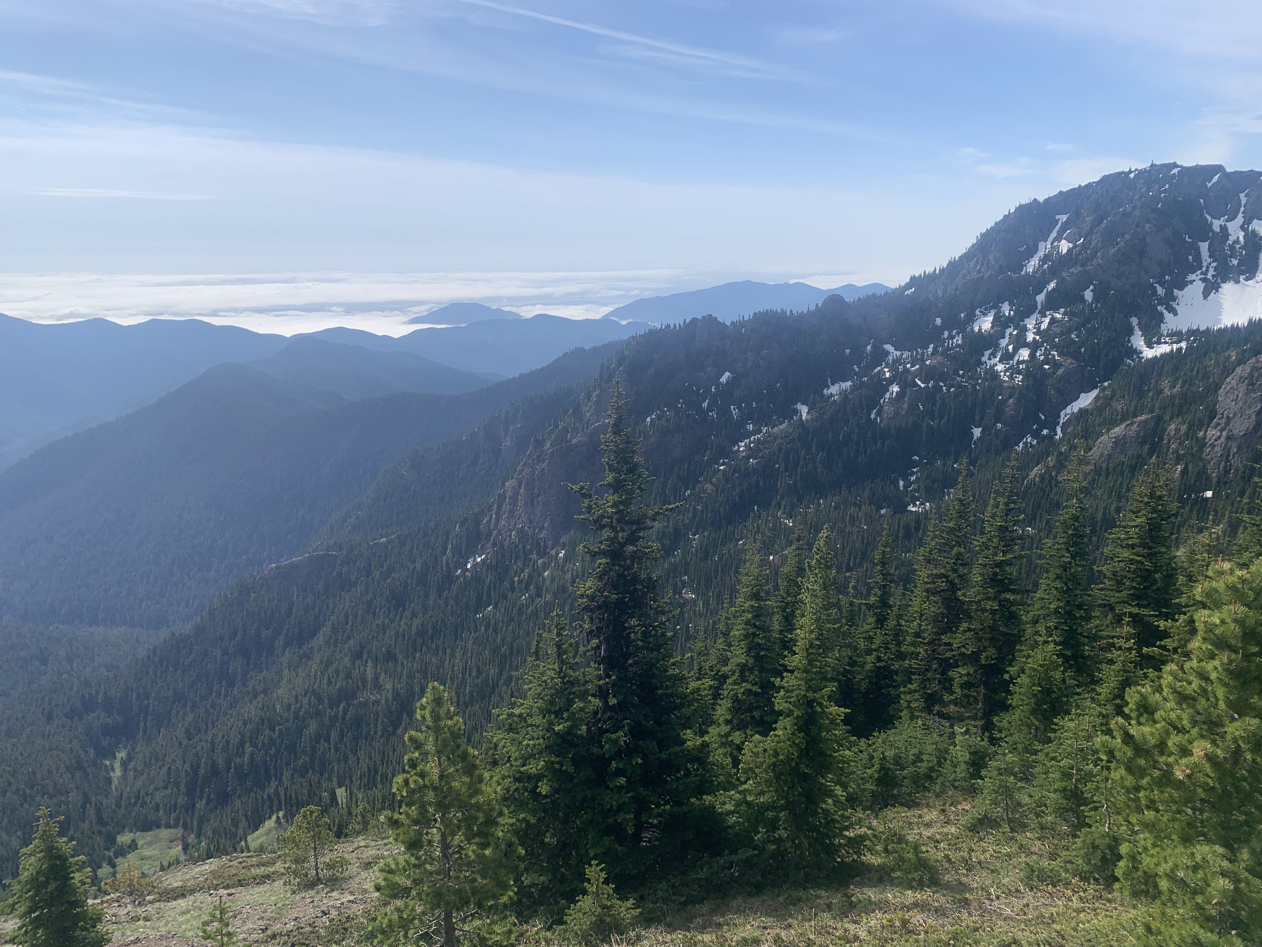 The skies were mostly sunny, but the haze over the Cascades kept me from seeing most of the Cascade peaks today.
 View of nearby Olympic Peaks from the Saddle on Townsend's south end.
Panoramic view to the south and west:

 The trail to the top seemed especially steep today.
 There aren't many wildflowers in bloom yet, but there was phlox scattered in the meadows.
 View form the "top" of Mount Townsend looking south
 view to the west
  view to the north and the other end of Mount Townsend
 Pano view to the west:

 view to the southwest from the south end of Mount Townsend
  view to the northeast, I could make out Mt Baker and Mt Shuksan through the haze
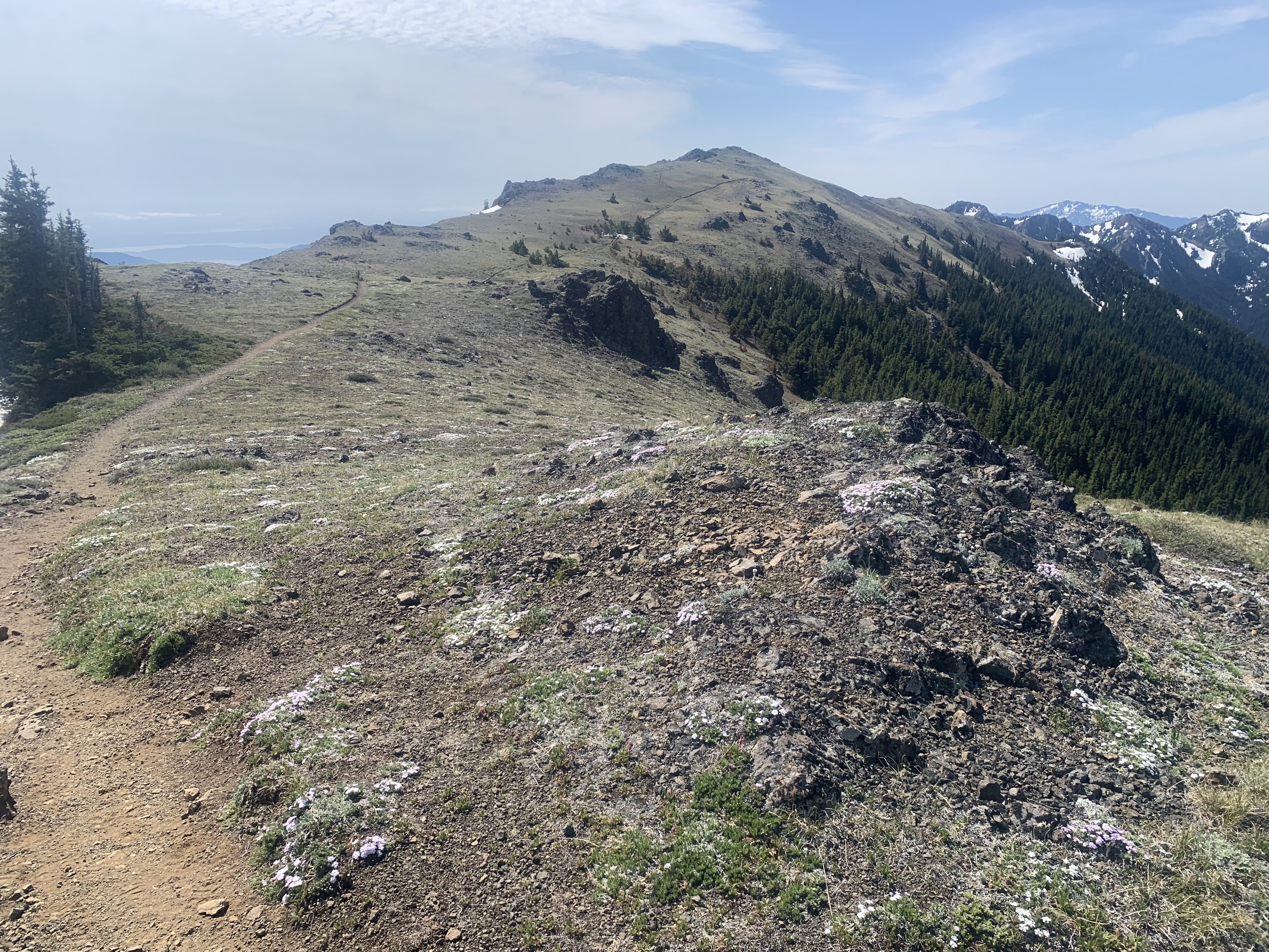 view looking back to the south and the "top" of Mount Townsend
 To the west were good views of Hood Canal and Puget Sound over 6,000 ft below
 Douglas and phlox growing on the top of Mount Townsend
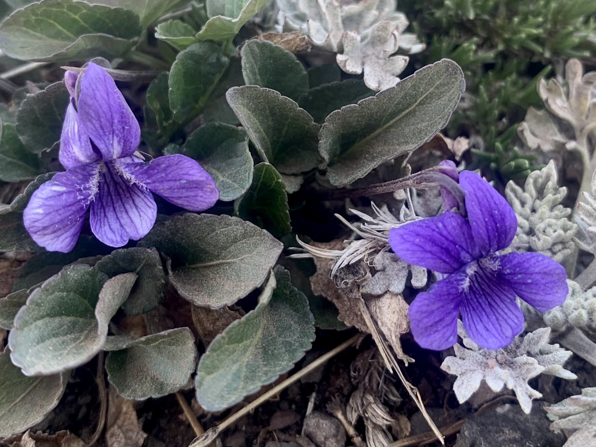
 some of the wildflowers seen along the trail today:


No comments:
Post a Comment