
 We drove to the Franklin Falls Trailhead off of FS 58 to hike up to Franklin Falls (2 miles round trip) and then to the Denny Creek Water Slide (3.25 miles round trip) for 5.25 miles and 750 ft of overall gain.
The trail to Franklin Falls follows the South Fork of the Snoqualmie River.
 Little Red Cabin across the river
 Icicles on the rocks
 Frozen branch
 Franklin Falls
 Closer view of Franklin Falls
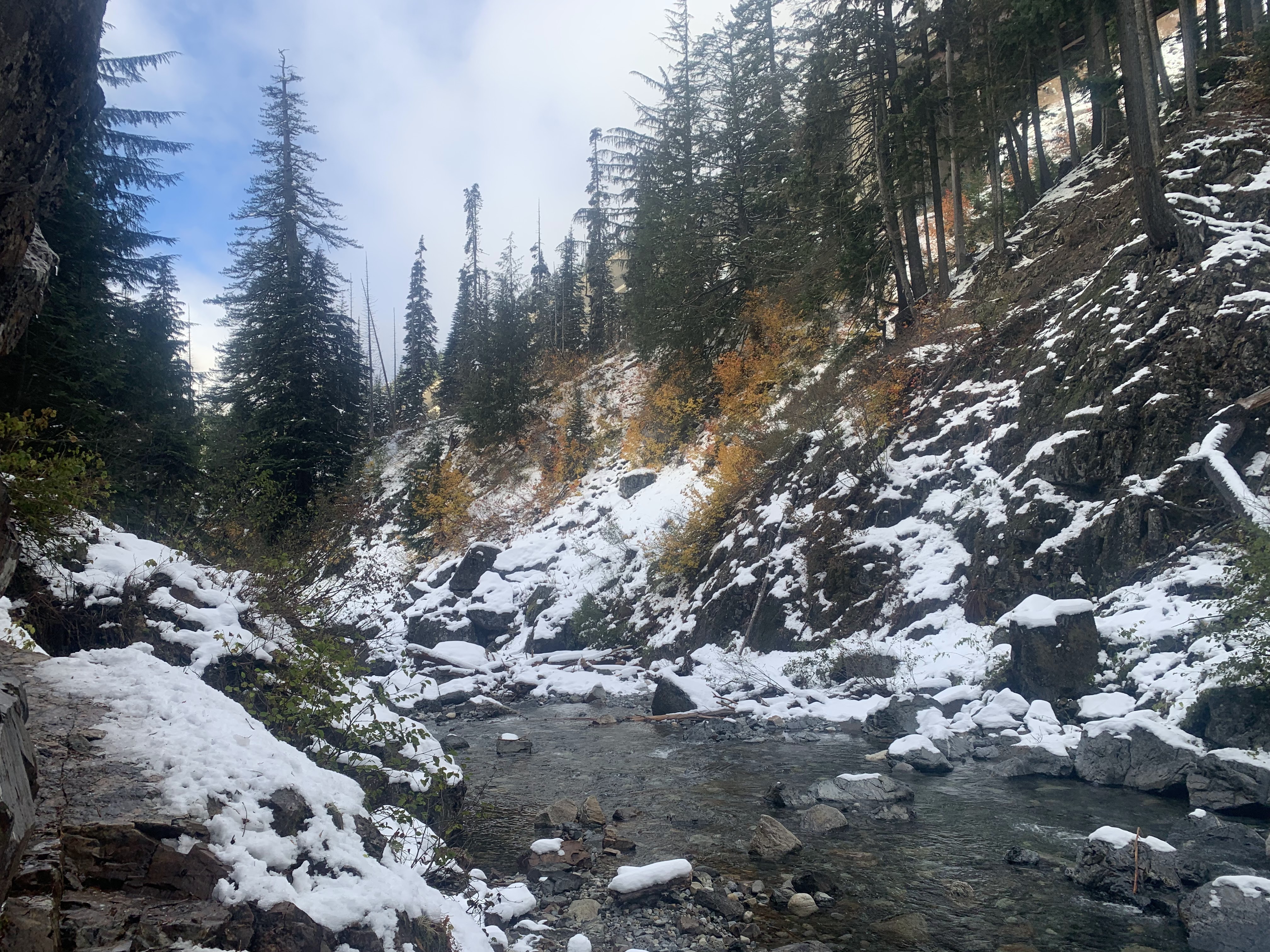 View down the river from the falls with some fall color.
 From the Franklin Falls trailhead the road to the Denny Creek Trailhead is closed. We walked along the closed road to the trailhead crossing a bridge over the South Fork of the Snoqualmie River, view upstream from the bridge,
 view downstream from the bridge
 The snow along the Denny Creek Trail was a little deeper, but we found tracks in the snow that were easy to follow. There were some nice yellow leaves on the vine maples.
 The trail enters the Alpine Lake Wilderness
 Views of the Denny Creek Water Slide looking upstream

 Downstream from the Water Slide on Denny Creek
 It was getting cloudy when we headed back to the trailhead.
No comments:
Post a Comment