


 About 1.5 miles from the trailhead is a short spur trail to the Eagle Cliff Viewpoint. With the morning sun low on the horizon, I needed to use the trees to block the glare from the sun.
 We took the short side trail to Spray Falls, lots of water in the creek we crossed to Spray Falls.
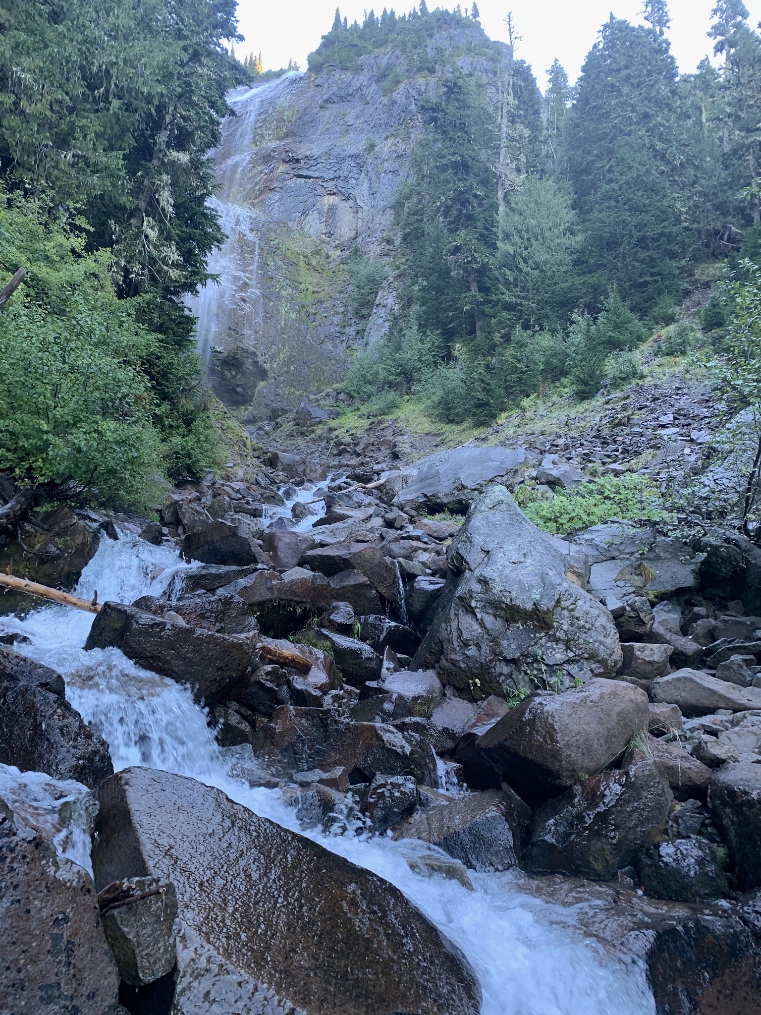 This morning, the boulders we covered in slick ice and the water was too fast to safely cross to the other side, so we had a partial view of Spray Falls hidden behind the trees today.
 Our first view of Mt Rainier as we entered Spray Park. Most of Spray Park was covered in snow today.
 A beautiful mountain shaped boulder covered in moss and lichen next to the trail.
 An icy tarn below Hessong Rock
 As we walked through Spray Park, we enjoyed watching the lenticular clouds form above Rainier.


 The creek was beginning to thaw as we made our way back down the trail, Mount Pleasant in the background.
 Back in the forest, we had a partial view of Mt Rainier through the trees. With more clouds covering the mountain, we are glad we had an early start today.
 Very few blueberries were left on the bushes.
some of the fungi we saw by the trail:


No comments:
Post a Comment