

 The first couple of miles are mostly in the forest, there are a couple of small streams crossing under and over the trail.
 One of the short open areas was lined with lupine.
  Log bridge over Frying Pan Creek
 Shortly after crossing Frying Pan Creek, the trail goes through open fields of wildflowers.
 As the trail gently turns, we began to get views of Mt Rainier.
 Wonderful array of wildflowers in bloom.
 Red paintbrush hads a bright color to the mix.
 The trail then turns south and climbs in a series of switchbacks . There were still a few small fields of avalanche lilies in bloom.
 The last several switchbacks were through an open field full of color!!!
 View of Mt Rainier at the beginning of Summerland
 I love all the wildflowers along Frying Pan Creek on the south end of Summerland.
 lots of heather in bloom
 Here we saw red paintbrush sprinkled in with lots of lousewort.
 beautiful color of lupine mixed in the heather
 We then continued up the Wonderland Trail for another mile.
 The trail then goes through rocks, boulders and scree. Here we saw a marmot perched on the rocks above us.
 Marmot viewed from the other side as the trail wound its way around his perch.
 There are wildflowers blooming high up the mountain abound all these rocks. In the distance, Frying Pan Creek descending in a couple of waterfalls.
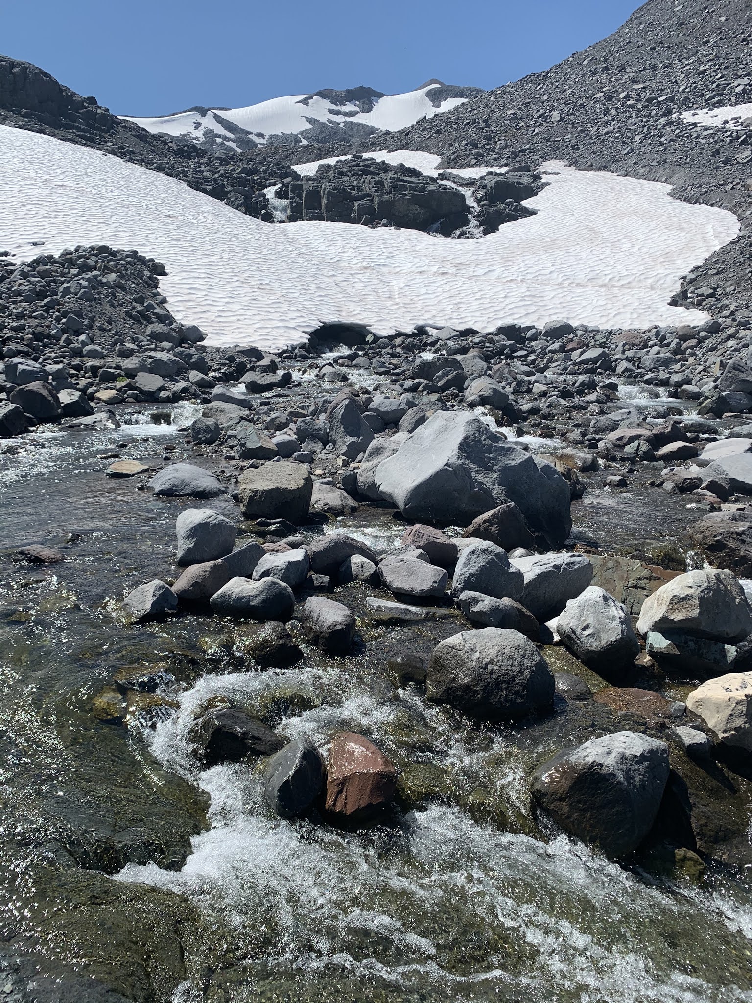 A low log bridge crosses Frying Pan Creek, giving us access to icy cold snow melt water, we were happy to cool off on this hot day.
 Tarn viewed from the north end (Panhadle Gap is towards the left side).
 Tarn viewed from the south end.
 We then hiked back the way we came, enjoying again the wonderful views and wildflowers along the way for a second time.
 Before crossing Frying Pan Creek on our way back though Summerland
 Another mountain view at Summerland
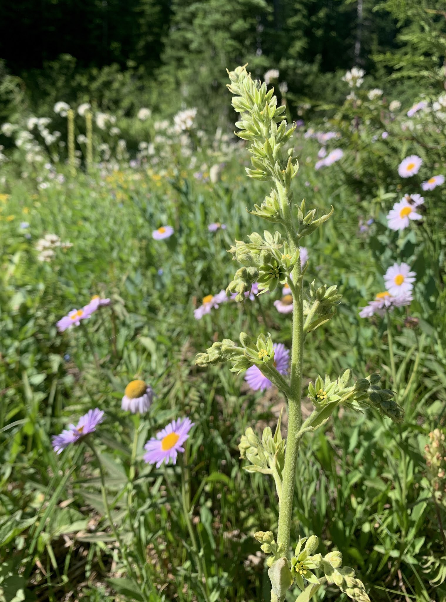
some of the wildflowers we saw along the trail today:


No comments:
Post a Comment