
Drove up to Hurricane Ridge at Olympic National Park to snowshoe up to Hurricane Hill. The rangers said the route was well packed down and I would probably not need to use my snowshoes. I hiked the entire way with micro spikes without post holing. Gorgeous day, 6 miles round trip with an overall elevation gain of 1,000 ft.
Pano of the Olympics from near the Visitor Center looking south:


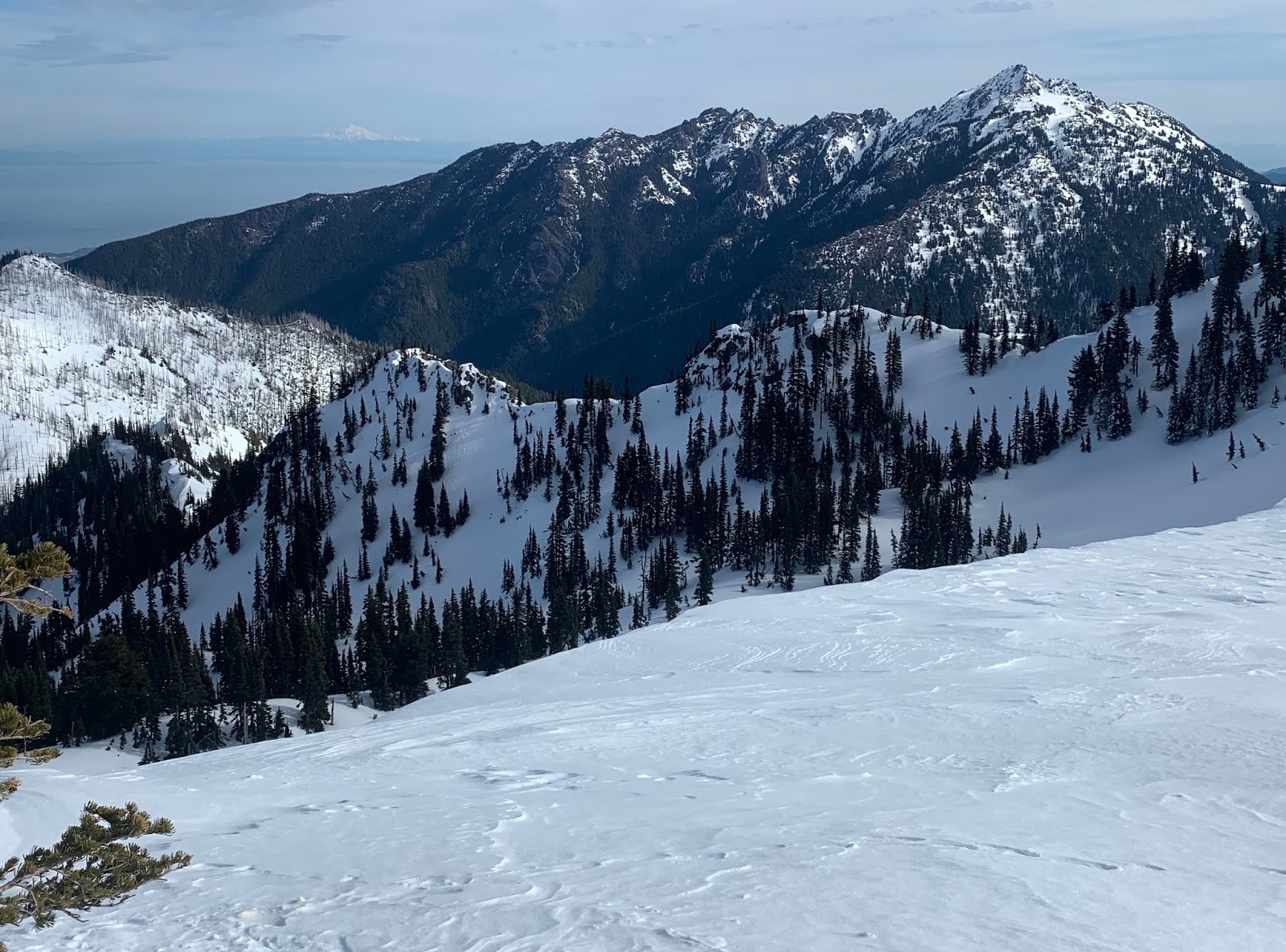
 From the parking area, I hiked down the closed Hurricane Hill road, a short ways down, I had this view of the ridge line that goes up to Hurricane Hill (center of photo) to the north
About 1.5 miles from the Visitor Center, the closed road ends and the trail up to Hurricane Hill begins. A short ways up from the end of the road, I looked back and took this pano to the south:
Mount Angeles to Mt Olympus to the Bailey Range.


Pano from the top of Hurricane Hill looking southward: Mt Baker, Klahhane Ridge, Mount Angeles, Olympics, including Mt Olympus

 To the north is Canada, San Juan Islands, Mt Baker and below Port Angeles

I love hikes, where the way back down is into incredible views!!!


No comments:
Post a Comment