
 Today we drove up to the Lolo National Forest, northwest of Missoula MT off the nine mile road. Besides deer, rabbits and squirrels, we saw a bobcat on the road this morning!!! We drove up a rough forest service road to an unmarked trailhead at 5,750 ft of elevation to hike to Ch-Paa-Qn Peak. This is the Sleeping Woman Trail, a 6 mile rt hike with 2,250 ft of elevation gain. The trail starts in a nice forest.
 Most of the wildflowers were gone, but the first mile of the trail was lined with prince's pipe and


From here, it is a 400 ft scramble through talus and boulders to the top of Ch-Paa-Qn Peak, 7,996 ft of altitude.
 There is a wind break built at the summit. Unfortunately, there were lots of flies on top as well.
Panorama to the north of Ch-Paa-Qn Peak: The Flathead Indian Reservation, the Rattlesnake Wilderness and the Mission, Cabinet, and Swan Mountains.


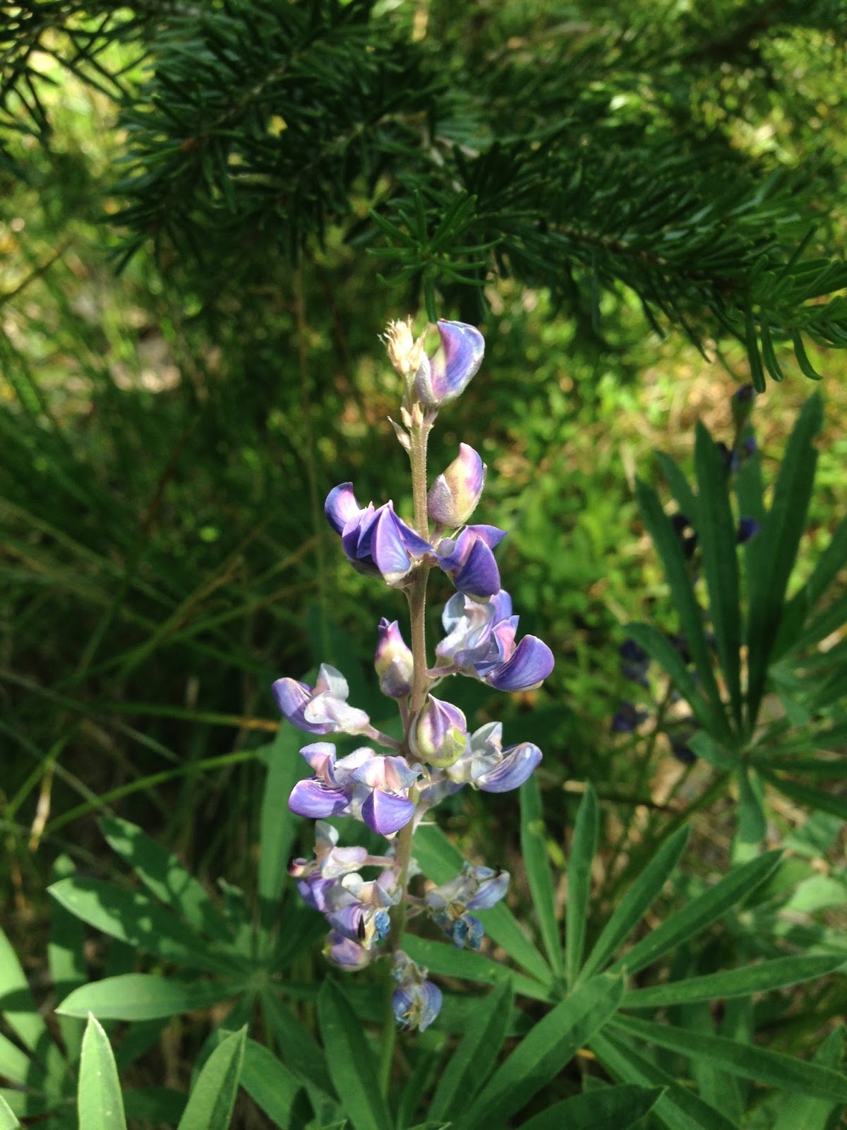
Some of the wildflowers and plants we saw on our hike today:


No comments:
Post a Comment