

We drove up to Chinook Pass on the Mt Rainier National Park side to hike around Tipsoo Lake and the Naches Peak Loop Trail this morning, about 4 miles with 600 ft of gain. The wildflowers were fabulous! Wildflowers along Tipsoo Lake.
 The meadows around Tipsoo Lake were filled with wildflowers.


 Tipsoo Lake and Yakima Peak
  There were lots of tadpoles in the lake.


 Busy bee on a pink fleabane
 Paintbrush and pink heather along the trail between Tipsoo Lake and the bridge over the highway.
 From the bridge over the highway to the border of Mt Rainier on the other side of the loop, is a small section of the PCT. Most of this portion of the trail is in the William O Douglas Wilderness. We met some hikers who had started their journey at the Mexican or Canadian border many days ago.
 I loved how there were many paintbrush in bloom today!
 Lovely meadows and patches of wildflowers along this northeast section of the loop.


 Tarn on the northeast side of the loop.


 After re-entering Mt Rainier National Park on the south side of the loop, we would have intermittent views of Mount Rainier.
 zoom of clouds on Mt Rainier
 wildflower filled meadow near the tarn on the south side of the loop
 view looking down at Dewey Lake
 More views of Mt Rainier as we continue along the south and west sides of the loop

 There were also patches of wildflowers along this portion of the trail.
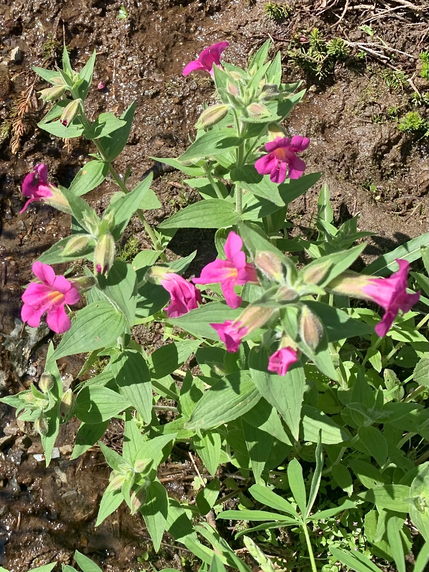
some of the wildflowers we saw along the trail today:


No comments:
Post a Comment