
 We drove out to the Stafford Creek Trailhead in the Teanaways to hike up to Navaho Peak, about 12.5 miles round trip with 4,200 ft of elevation gain. In the first 4 - 5 miles the trail gradually gains elevation in an open pine forest with a variety of wildflowers along the way.
 On this warm day, we were thankful for the several streams we encountered to help cool us off.
 When we start seeing large rocks and boulders along the trail, we know we will soon be at the meadow where most of the backpackers set up camp.
 There were lots of shooting stars in the meadow.
 After the meadow, the trail steepens and goes through a large open area on the way to Navaho Pass.
 Here we stepped off trail to allow a horse and rider to pass us by.
 Looking back to where we have hiked.
 Last section of the trail up to Navaho Pass.
 View of some of the Enchantment Peaks from Navaho Pass, we stopped here for a lunch break before continuing on to Navaho Peak.
 From Navaho Pass, it is about 1 mile and 1,200 ft of gain up to the Peak. Parts of the trail have loss rocks and dirt on steep slopes. We enjoyed the open views and wildflowers to give us breaks as we continued up and up.
  As the trail gained elevation, to the southwest we could see Mt Adams, the Goat Rocks and Mt Rainier in the far distance.
 zoom of Mt Adams
zoom of the Goat Rocks


zoom of Mt Rainier
 And the views of Mount Stuart and the peaks to the west improved.
 zoom of Mount Stuart and Ingalls Peak
 There was one snowfield going up to Navaho Peak, easy to hike through.
 Awaiting us on the very top of Navaho Peak was a mountain goat. We waited for him to descend and move off to the side before going to the top ourselves.
 View to the northwest from Navaho Peak
Pano to the north: glorious!

 view to the west, including Earl Peak where we were last week
 buckwheat in bloom with Enchantment Peaks as a background
 view to the northeast, the Three brothers to the far right
 view to the south, with the mountain goat grazing below
 some zoom photos of the mountain goat, we kept an eye out to make sure we didn't get too close

 When we were descending from the summit, we turned around to see the mountain goat had reclaimed his spot on the top.
 We were very happy hikers today
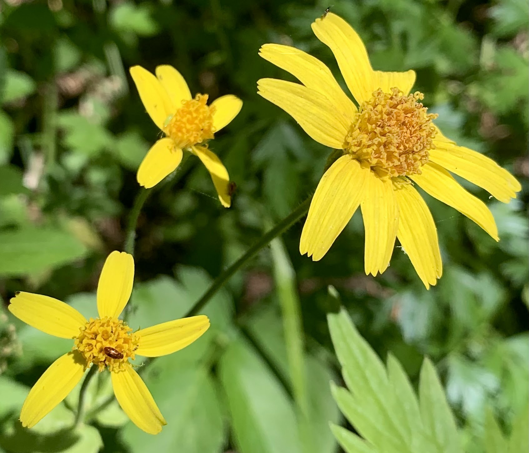
The butterflies and bugs were also out along with the wildflowers.


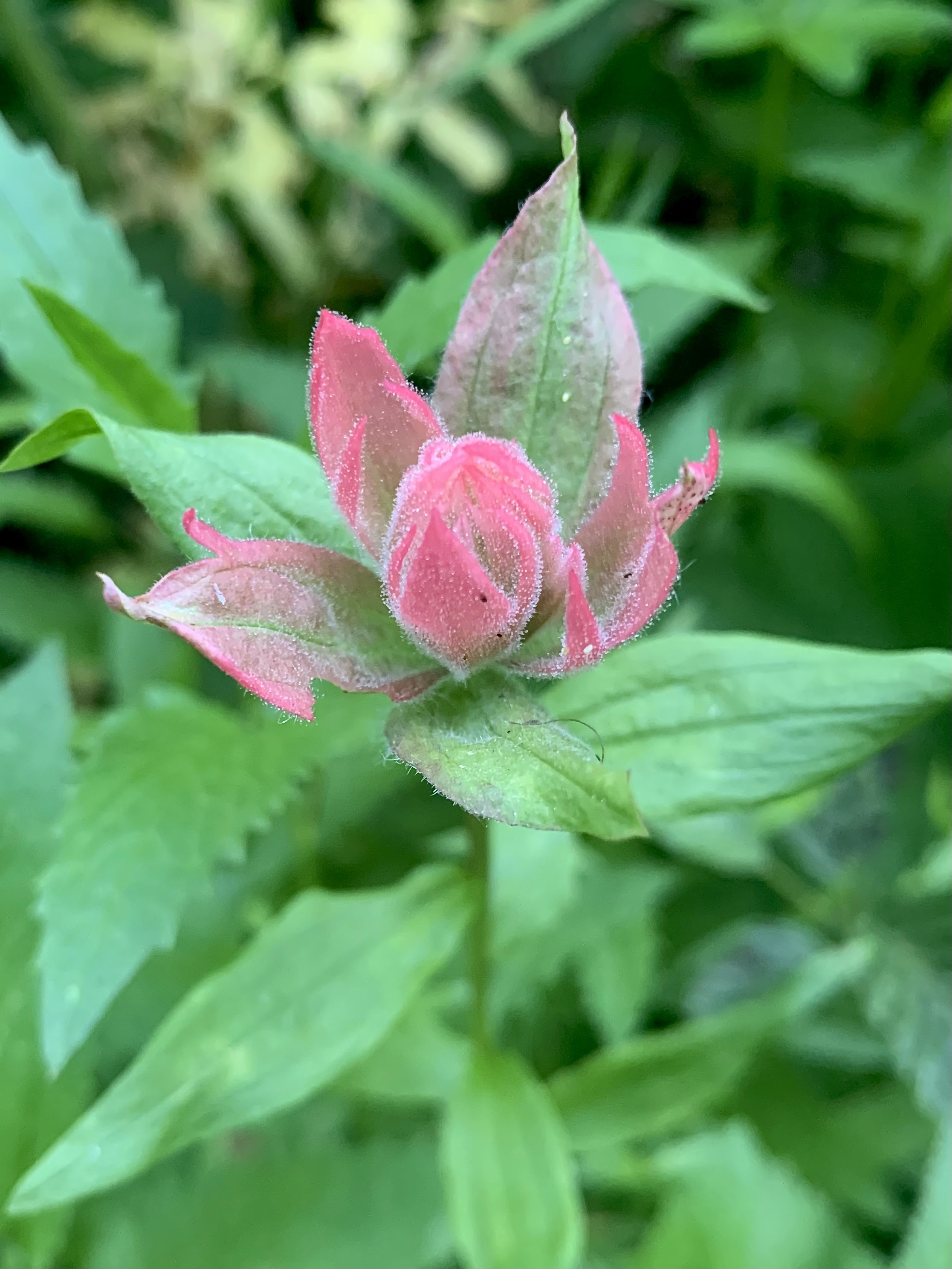
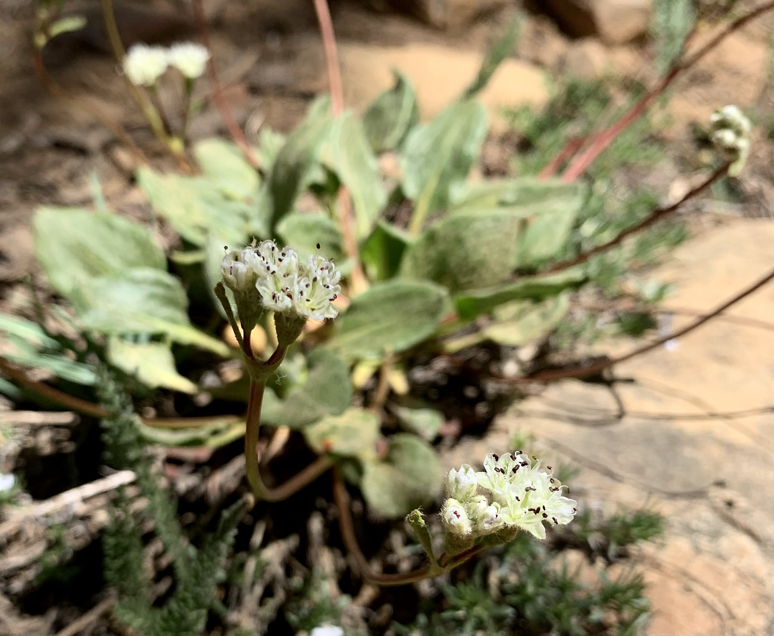
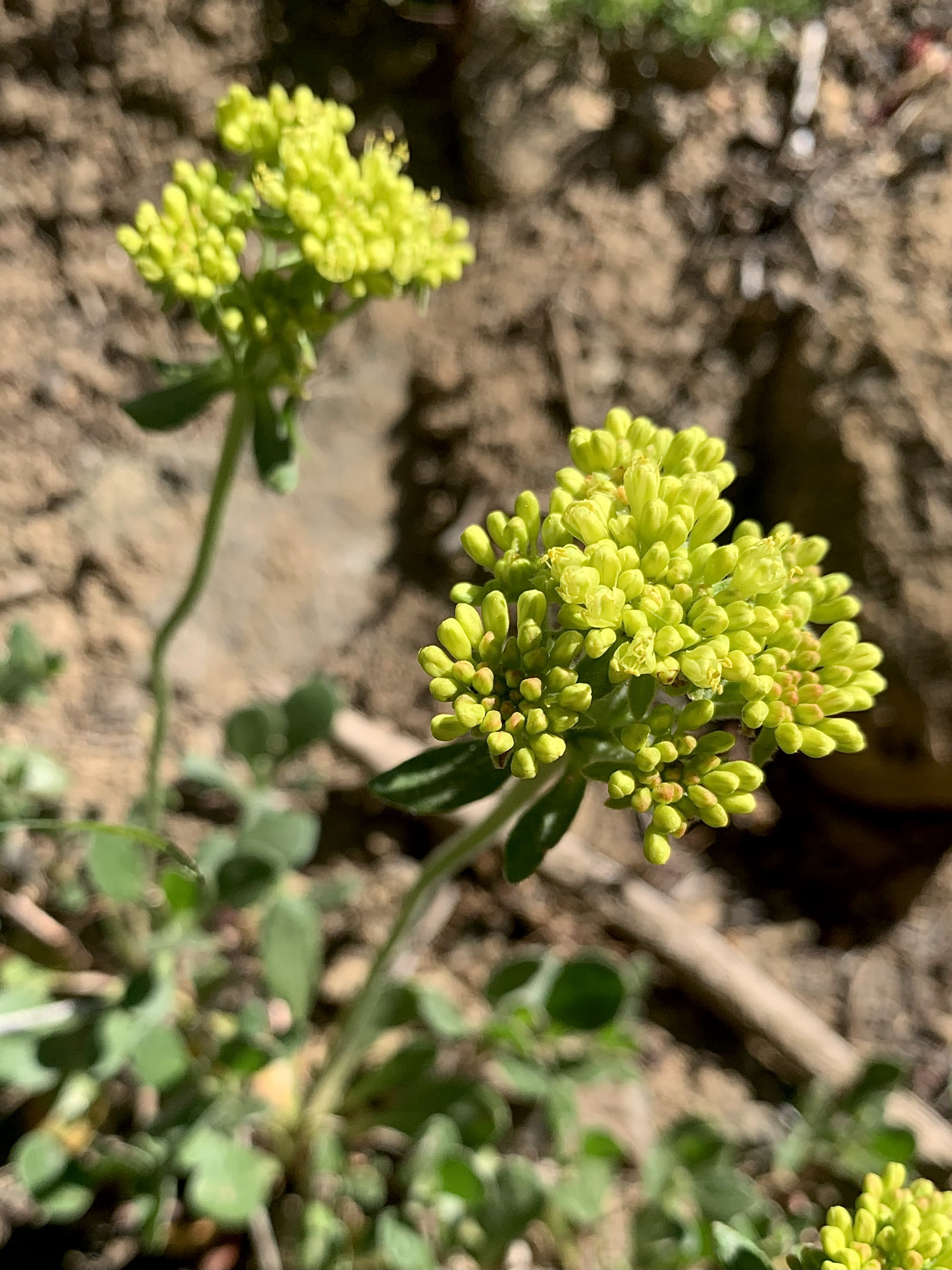
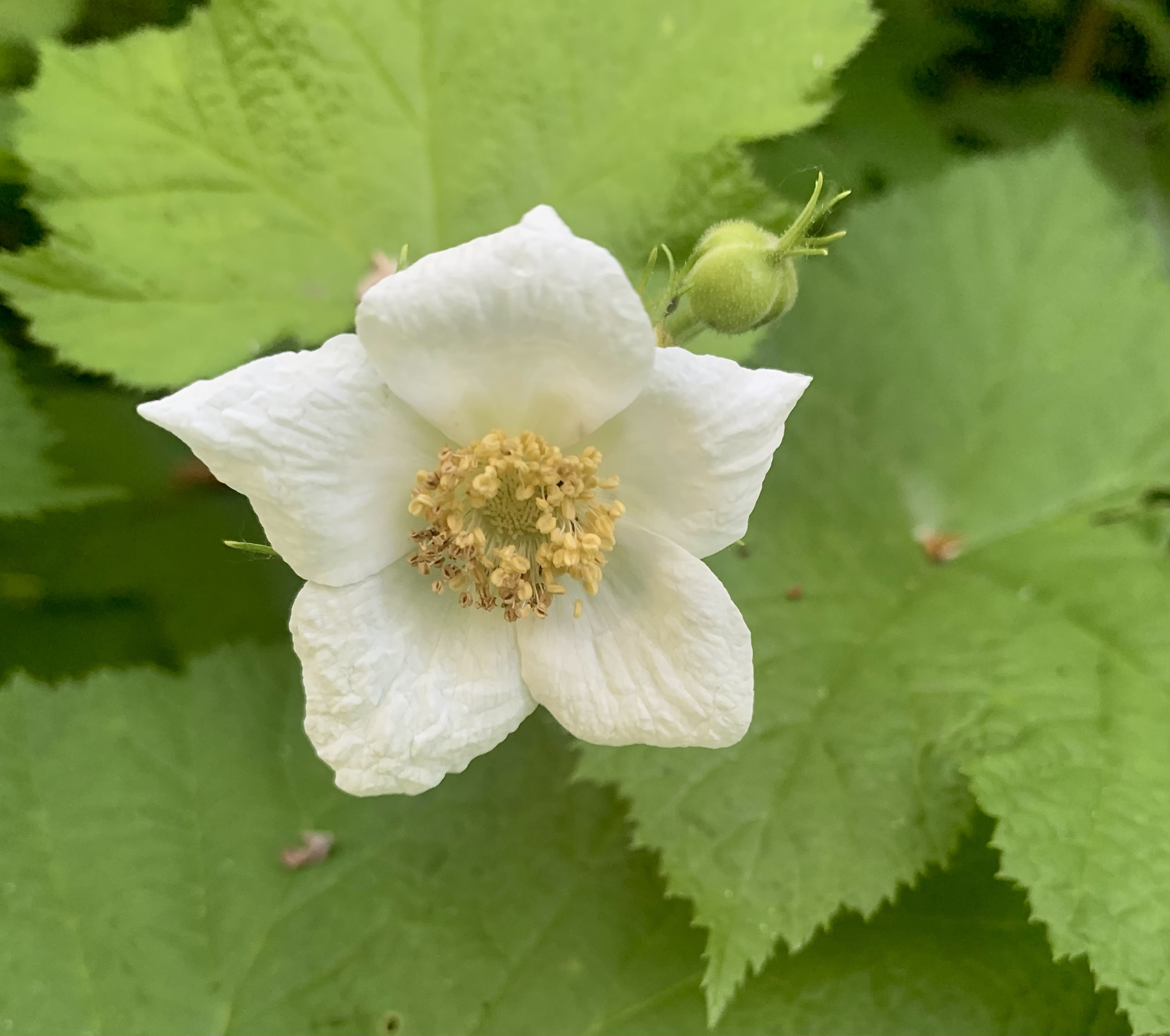
some of the wildflowers seen along the trail today:


No comments:
Post a Comment