Drove up to the SnoPark on the south side of the Mt Tahoma Trail Association huts near Ashford. The road was mostly clear to the lower parking area. This was 8 miles round trip with an overall gain of 2,100 ft. I only saw two other people and that was when I was about halfway back down the trail. A very beautiful and serene day. Photo of the gazebo at Snow Bowl Hut with a view of Mt Rainier.

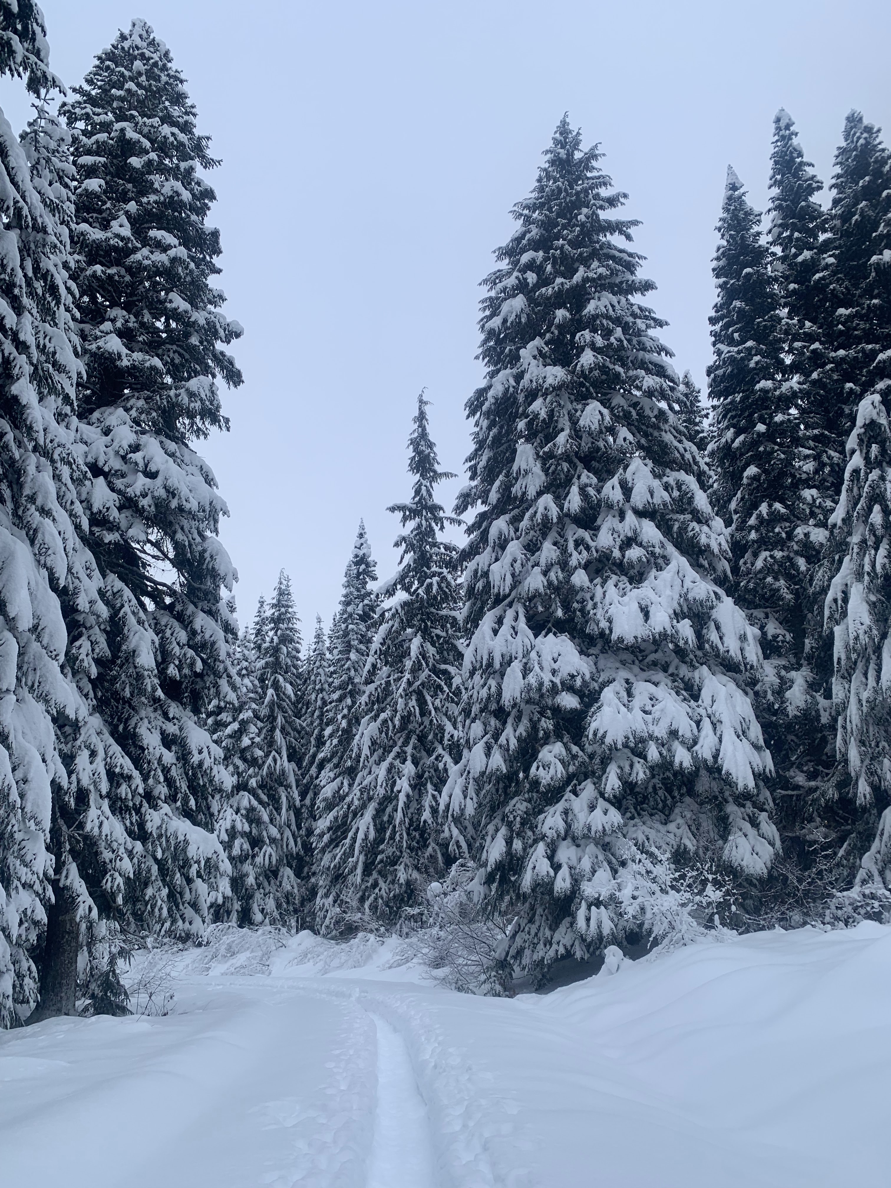
The first 0.3 miles from the lower SnoPark was fairly free of snow.

After the first 0.3 miles the routes were completely snow covered and I donned my micro spikes. I made sure to stay to the far side of the groomed trail to avoid stepping in the area meant for skiers.

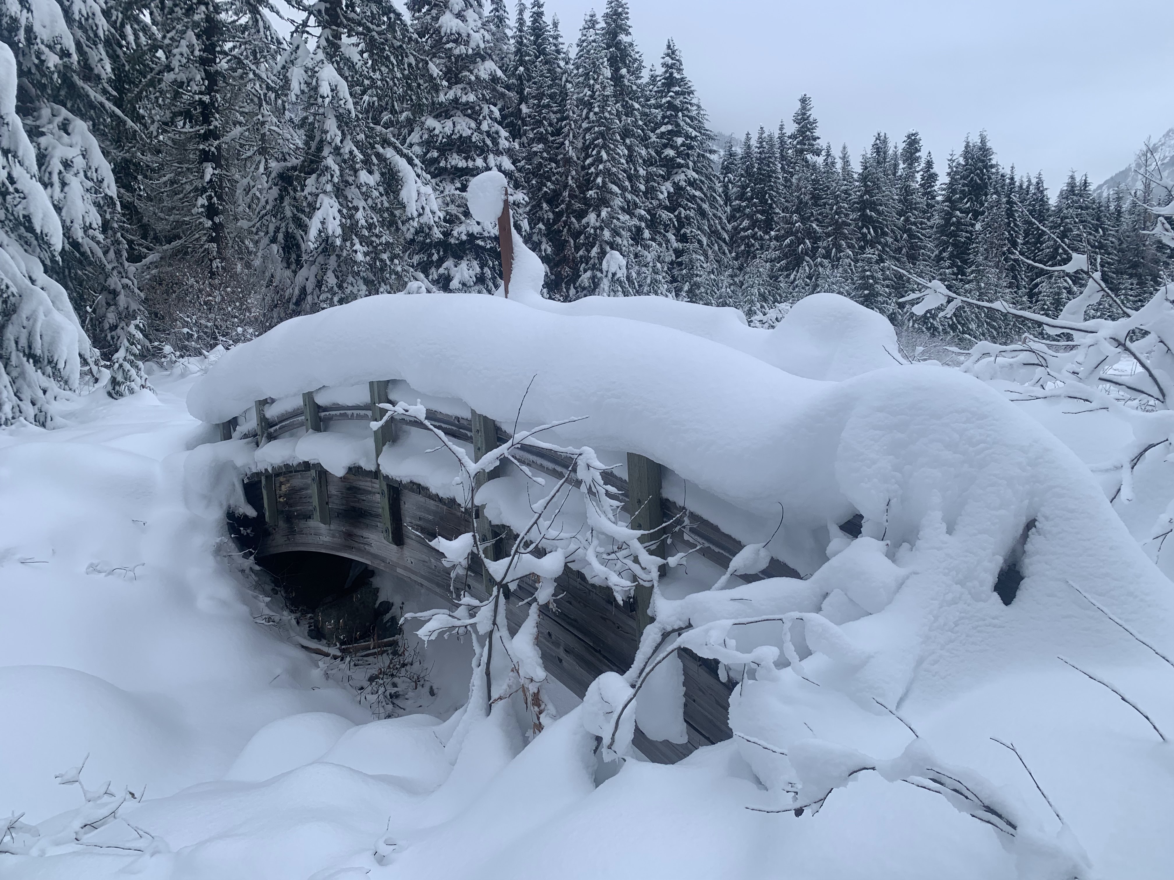
The turn off from the main route to Snow Bowl is 2.5 miles from the lower SnoPark. About 0.25 miles up this road, I put on my snowshoes as I was starting to post hole off on the side of the groomed trail.

View of Snow Bowl Hut near the end of the route.

To the east, I could see the Goat Rocks and Mt Adams in the far distance.

zoom of the Goat Rocks

A little closer to Snow Bowl Hut, there is a good view to the south of Mt Adams and Mt St Helens

zoom of Mt Adams

zoom of Mt St Helens

A short distance beyond Snow Bowl Hut is the gazebo, I sat on the deck outside the gazebo for a lunch break, enjoying the view of Mt Rainer.

slight zoom of Mt Rainier

From the other side of the gazebo, I could see Mt St Helens in the distance beyond the frozen prayer flags and rabbit prints.

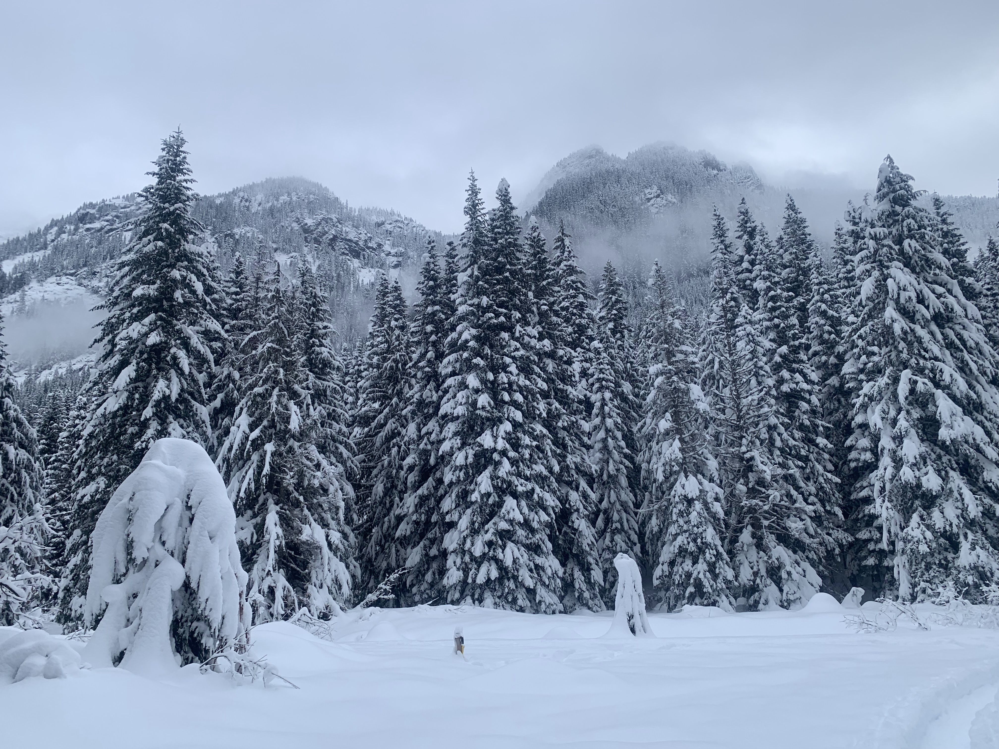
To the west, up on the hill is High Hut.

view to the southwest

On leaving the gazebo, I looked back at my deep snowshoe tracks and was glad I brought them today.

View of Mt Rainier, and to the far right High Rock, as seen coming down from Snow Bowl. This is also the view as seen from inside Snow Bowl Hut.

About 1-1/2 miles before the lower parking area, their is a brief view of Mt Rainier through the trees.

 Drove up to the SnoPark on the south side of the Mt Tahoma Trail Association huts near Ashford. The road was mostly clear to the lower parking area. This was 8 miles round trip with an overall gain of 2,100 ft. I only saw two other people and that was when I was about halfway back down the trail. A very beautiful and serene day. Photo of the gazebo at Snow Bowl Hut with a view of Mt Rainier.
 The first 0.3 miles from the lower SnoPark was fairly free of snow.
 After the first 0.3 miles the routes were completely snow covered and I donned my micro spikes. I made sure to stay to the far side of the groomed trail to avoid stepping in the area meant for skiers.
 The turn off from the main route to Snow Bowl is 2.5 miles from the lower SnoPark. About 0.25 miles up this road, I put on my snowshoes as I was starting to post hole off on the side of the groomed trail.
 View of Snow Bowl Hut near the end of the route.
 To the east, I could see the Goat Rocks and Mt Adams in the far distance.
 zoom of the Goat Rocks
 A little closer to Snow Bowl Hut, there is a good view to the south of Mt Adams and Mt St Helens
 zoom of Mt Adams
 zoom of Mt St Helens
 A short distance beyond Snow Bowl Hut is the gazebo, I sat on the deck outside the gazebo for a lunch break, enjoying the view of Mt Rainer.
 slight zoom of Mt Rainier
 From the other side of the gazebo, I could see Mt St Helens in the distance beyond the frozen prayer flags and rabbit prints.
 To the west, up on the hill is High Hut.
 view to the southwest
 On leaving the gazebo, I looked back at my deep snowshoe tracks and was glad I brought them today.
 View of Mt Rainier, and to the far right High Rock, as seen coming down from Snow Bowl. This is also the view as seen from inside Snow Bowl Hut.
 About 1-1/2 miles before the lower parking area, their is a brief view of Mt Rainier through the trees.