
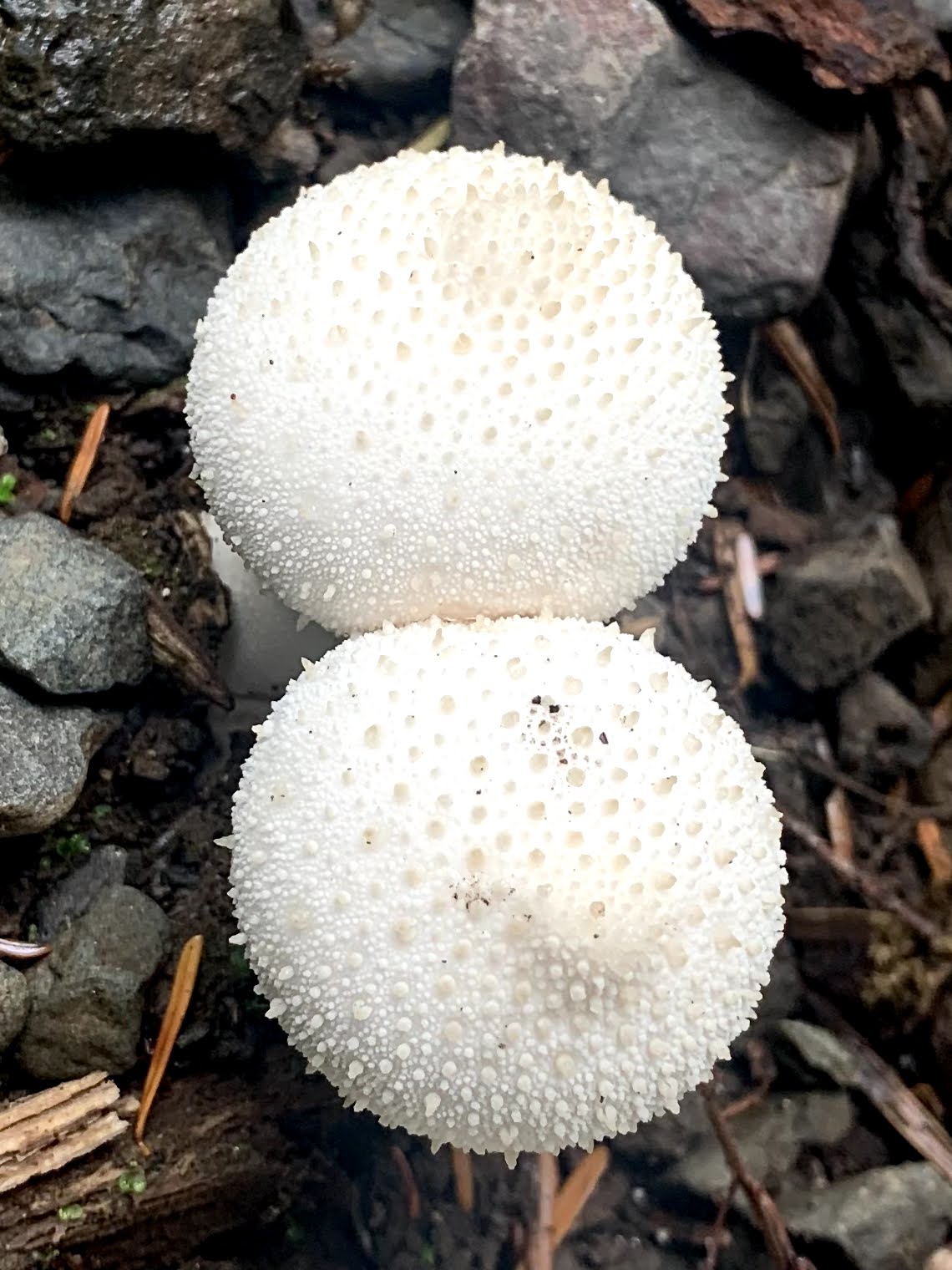
 We drove out to the Pete's Creek Trailhead in the southwest Olympics to hike up to Colonel Bob Peak, 8 miles round trip with 3,500 ft of gain. Beautiful temperate rain forest with a variety of fungi, wildflowers and lots of berries.
 It was cloudy and misty as we drove up through the national forest, but we started to see the sun break out from the clouds early in our hike.
 The forest was full of ferns, tress, moss and lichen.
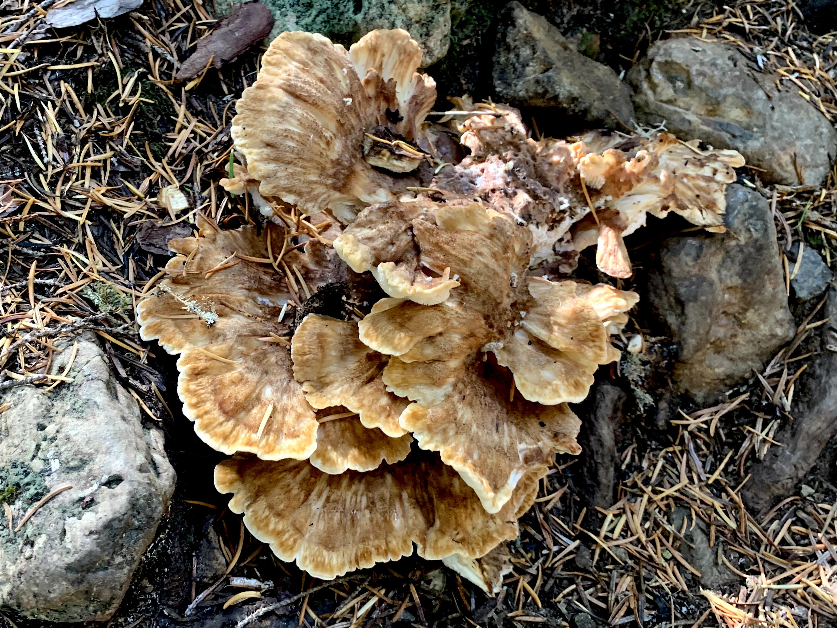
 large shelf fungus on the edge of a large cut trunk
 Lots of ripe huckleberries throughout the forest
 After the trail crosses Pete's Creek it begins to climb more steeply.
 Before joining the Colonel Bob Trail, the Pete's Creek Trail goes through an open meadow where we began to have views of nearby ridges and saw some fall colors.
 Looking up at Quinalt Ridge
 The trail then goes steeply up the side of Gibson Peak,
 We found copious amounts of very sweet blueberries in Moonshine Flats.
 Looking back at Gibson from Moonshine Flats
 After Moonshine Flats, the trail again goes steeply up towards Colonel Bob Peak.
 A look at Colonel Bob Peak, before the trail goes around to the other side before climbing to the top.
 Views as we go around Colonel Bob Peak
 Views as we go up the last bit to the top
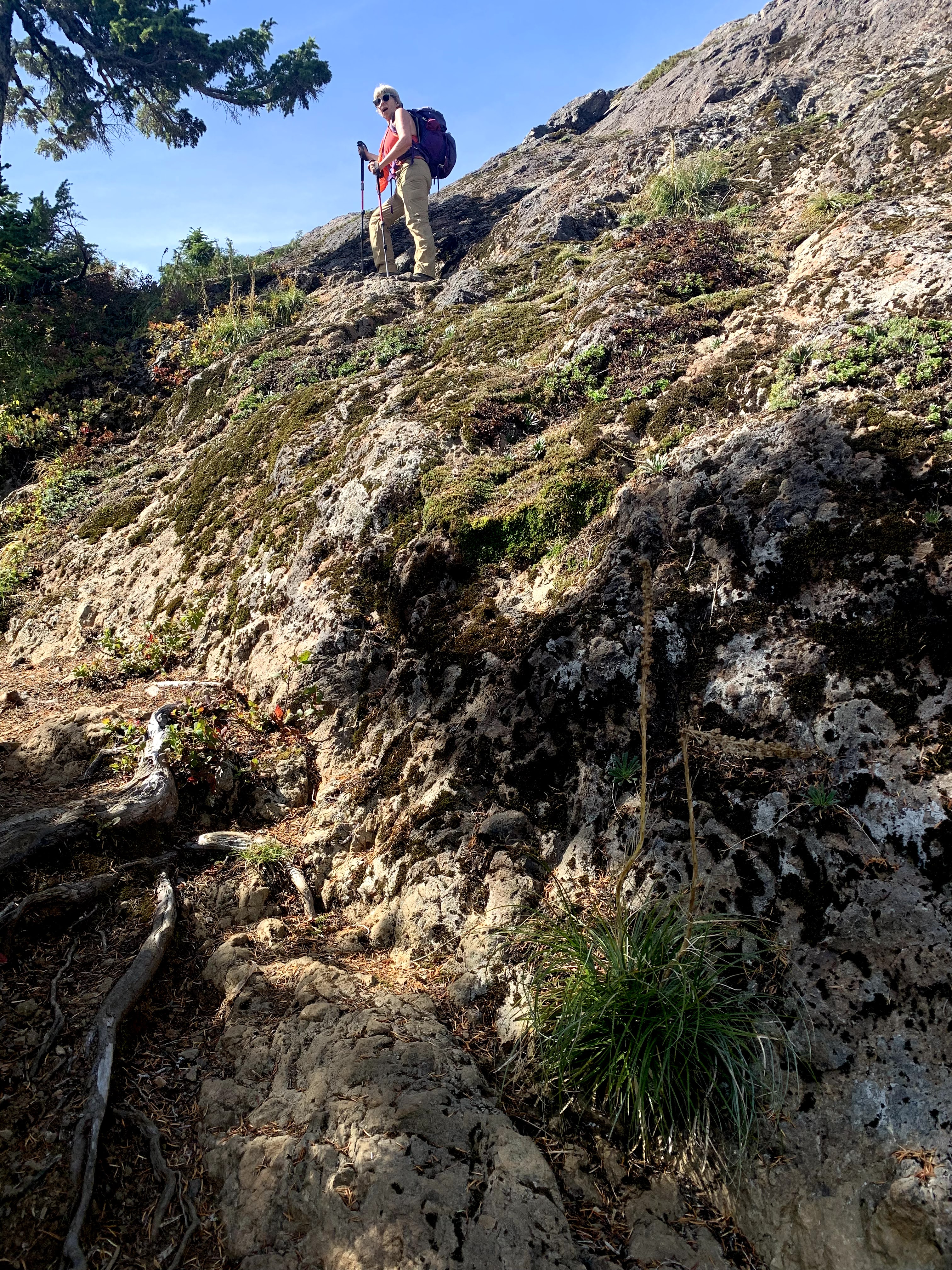 There are worn cut out "steps" up to the top of Colonel Bob Peak.
Pano to the east from Colonel Bob Peak:

 zoom of Mt Rainier far to the east
some distant Olympic Peaks towards the northeast:


Pano to the west:


some of the wildflowers and other flora seen along the trail today:


No comments:
Post a Comment