
We drove up to Chinook Pass to hike the PCT northbound for 3 miles to Sourdough Gap, passing Sheep Lake, and then entering Mount Rainier National Park far enough to get a view of Upper Crystal Lake, Crystal Peak and Mount Rainier. This is a 7 mile round trip hike with 1,200 ft gain. We saw a few wildflowers in bloom, lots of ripe berries and some fall colors.
 View of Mt Rainier near Tipsoo Lake off of Highway 410 on our way to Chinook Pass.
 Lots of pasqueflower seedheads on the hillside as we start going northbound on the PCT from Chinook Pass.
 The view to the east was very hazy from the smoke of the Schneider Springs Fire, but was clear to the west where we were heading.
 There were copious amounts of ripe huckleberries along the trail.
 It's about 2 miles and 400 feet of gain to Sheep Lake from Chinook Pass. View looking towards Sourdough Gap.
 From the east side of Sheep Lake, Chinook Peak reflecting in the lake.
 From Sheep Lake the trail continues another mile and about 650 feet of gain up to Sourdough Gap. Here corn lilies are blooming in a meadow.
 Looking back down on Sheep Lake as we continue up the trail.
 We could see the very top of Mt Rainier as we neared Sourdough Gap between the peaks.
 zoom of the top of Mt Rainier
 View to the southeast from Sourdough Gap
 Sourdough Gap looking west
 From Sourdough Gap, the PCT makes it way to the north, we continued for about 0.1 mile before taking the Crystal Lakes Trail into Mt Rainier National Park.
 Great rock formation!
 View of Mt Rainier behind Crystal Peak along the trail, Upper Crystal Lake can be seen through the trees below.
 We took this boot track to this viewpoint and the ledge below it.
 View of Mt Rainier, Crystal Peak and Upper Crystal Lake, great spot for a break and enjoy the views.
 zoom of Mt Rainier
 Returning back to the junction with the PCT southbound to Sourdough Gap.
 Lots of sitka mountain ash along the trail nearing Chinook Pass (Naches Peak in the distance)
 Stopped at a pullout along Highway 410 to take this photo of Tipsoo Lake and Mount Rainier before returning home.
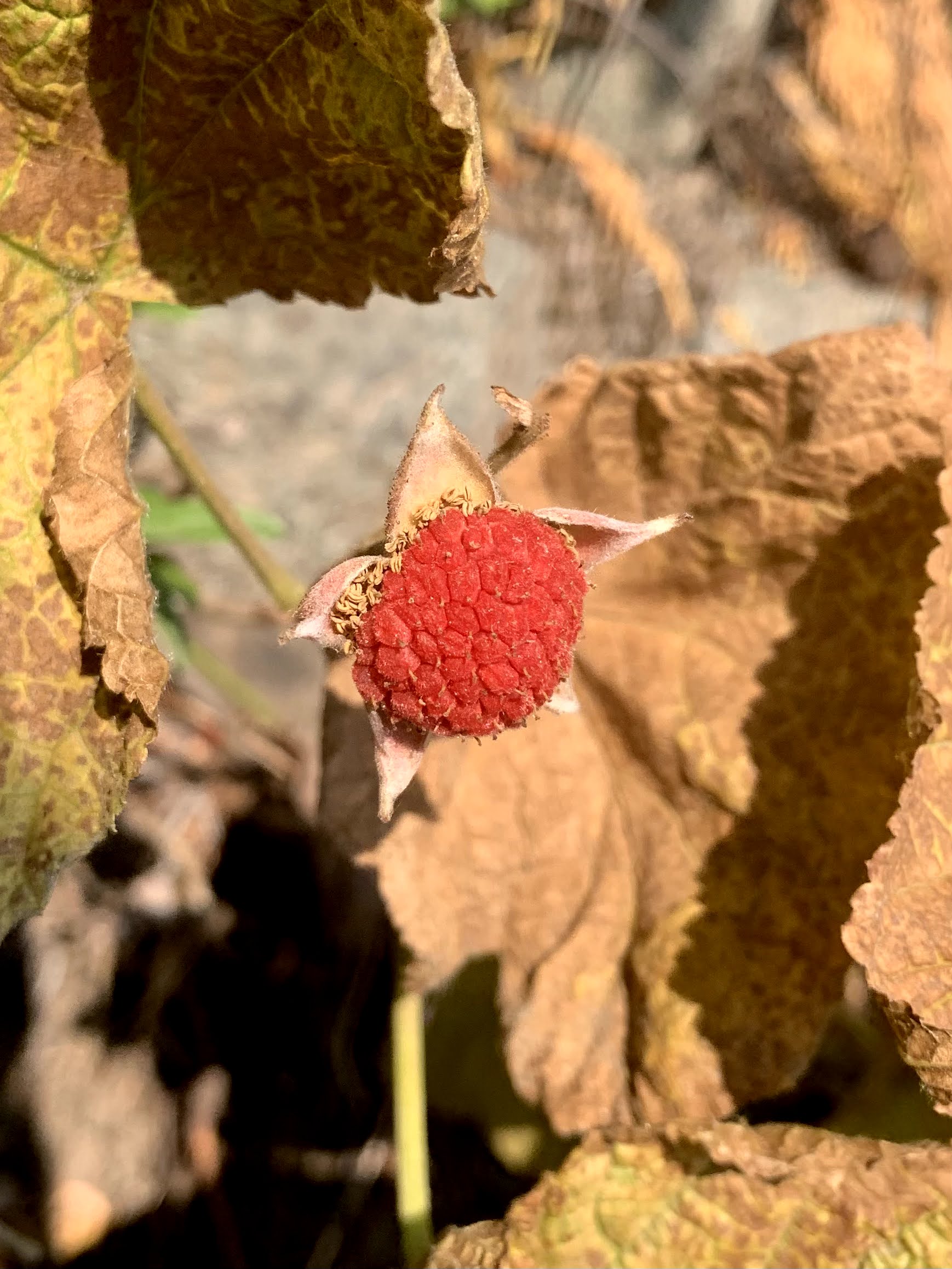
some of the wildflowers, berries and fall color seen along the trail today:


No comments:
Post a Comment