
I hadn't been up the Westside Road on Mt Rainier before, so we decided to head up to Lake George (a 9 mile round trip hike with about 1200 ft elevation gain) and the lookout on Gobbler's Knob (extending the hike to a 12 mile round trip hike with 2000 ft elevation gain). We didn't make it to Gobbler's Knob, and wandered around in the snow searching for the trail. We ended up hiking about 14 miles with 1400 ft elevation gain.
The Westside Road is closed due to wash outs and rock falls. We parked at the closure.

We could see the ridge line along Mt Wow.
The boulders that fell on the road last year, making the road closure earlier.
Sign on the road further up from the boulders on the road.
Washed out portion of the road.
The road was surrounded by woods, with occasional peek-a-boo views of Mt Rainier. The road was covered in soft mud, making for an easy hike.
Another view of the top of Mt Rainier.
We ran into snow on the road about 2-1/2 miles up the road.
Reached Round Pass after walking 3.8 miles up the Westside Road, this portion was snow free. The trail to Lake George and Gobbler's Knob is to the left.
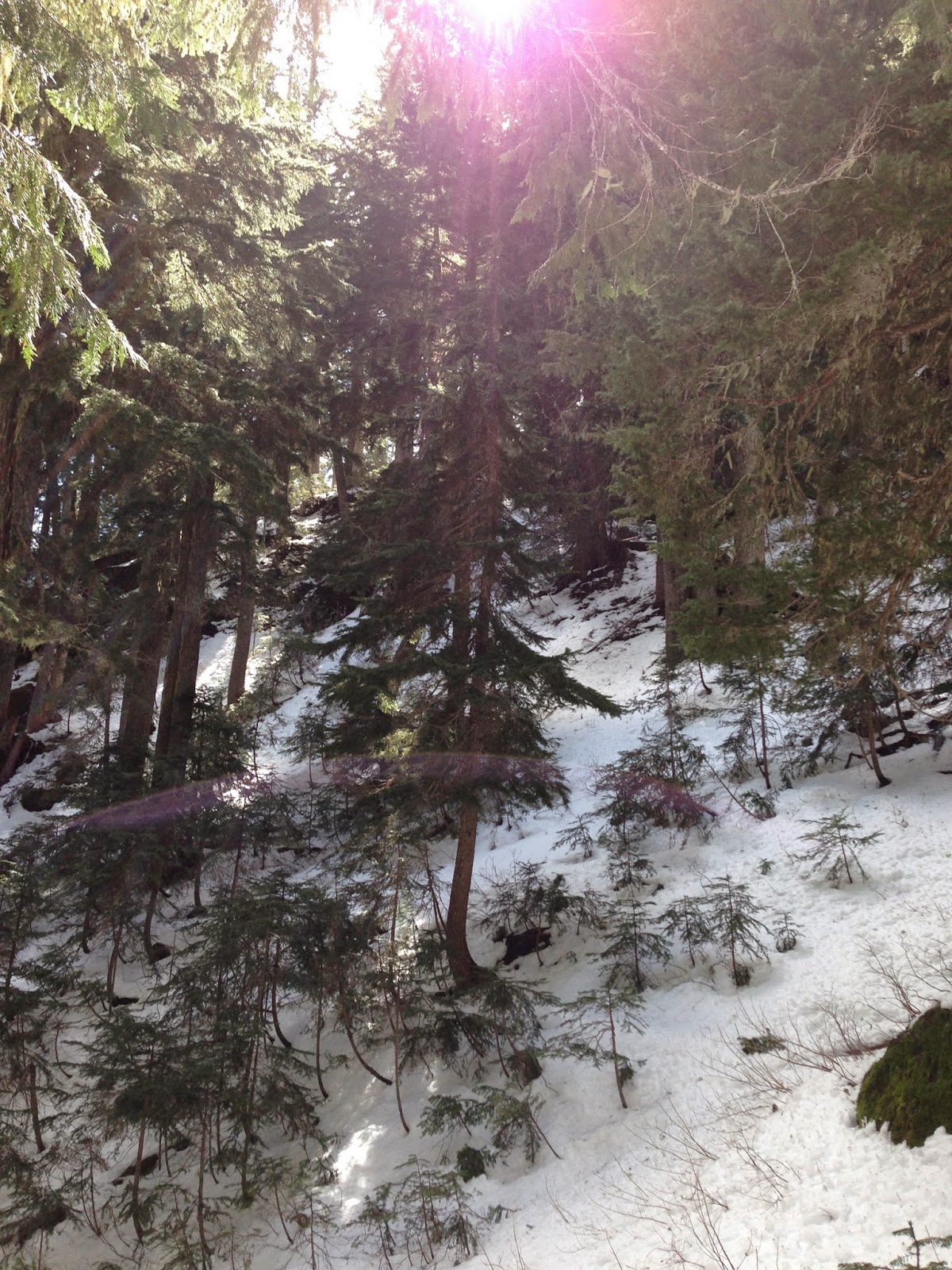
The trail climbs uphill through the woods to Lake George in 0.9 miles, this portion of the trail was partially snow covered.
The trail drops down to Lake George.
A beautiful lake with Mt Wow behind it:
We had seen footprints on the trail to Lake George, but there were no more footprints in the snow on the trail from Lake George to Gobbler's Knob.
We were able to see where the trail was for about 1/2 mile where we came to a meadow. Up ahead we could see Gobbler's Knob and the lookout on top.
Close up showing the look out on Gobbler's Knob.
We wandered around the meadow for an hour trying to find the trail up to the junction with the Goat Lake Trail that comes up from the west and the spur to Gobbler's Knob, but we were unable to find the trail or a way up. So we enjoyed our lunch before heading back down the trail.
I want to come back when the snow has melted to find the trail and get up to the lookout!

a view of Mt Wow and Lake George from the north side.
Hiking down from Lake George, we saw a peek-a-boo view of Mt Rainier through the forest.
Back at Round Pass, we hiked a little further to the Marine Memorial.
In recognition of the Marines whose plane crashed in the Tahoma Glacier in 1946.
Hiking back down the Westside Road, we took a couple of short side trips. One was the Tahoma Vista,
where we had a view of the Tahoma Glacier on Mt Rainier.
And further down the road, we hiked about 1/4 mile along the Tahoma Creek Trail to get a view of Mt Rainier.
view of Mt Rainier looking up Tahoma Creek.
and behind me, Mt Wow.
Some of the wildflowers we saw today:
As we drove out of the park, we saw a deer along the side of the road.


No comments:
Post a Comment