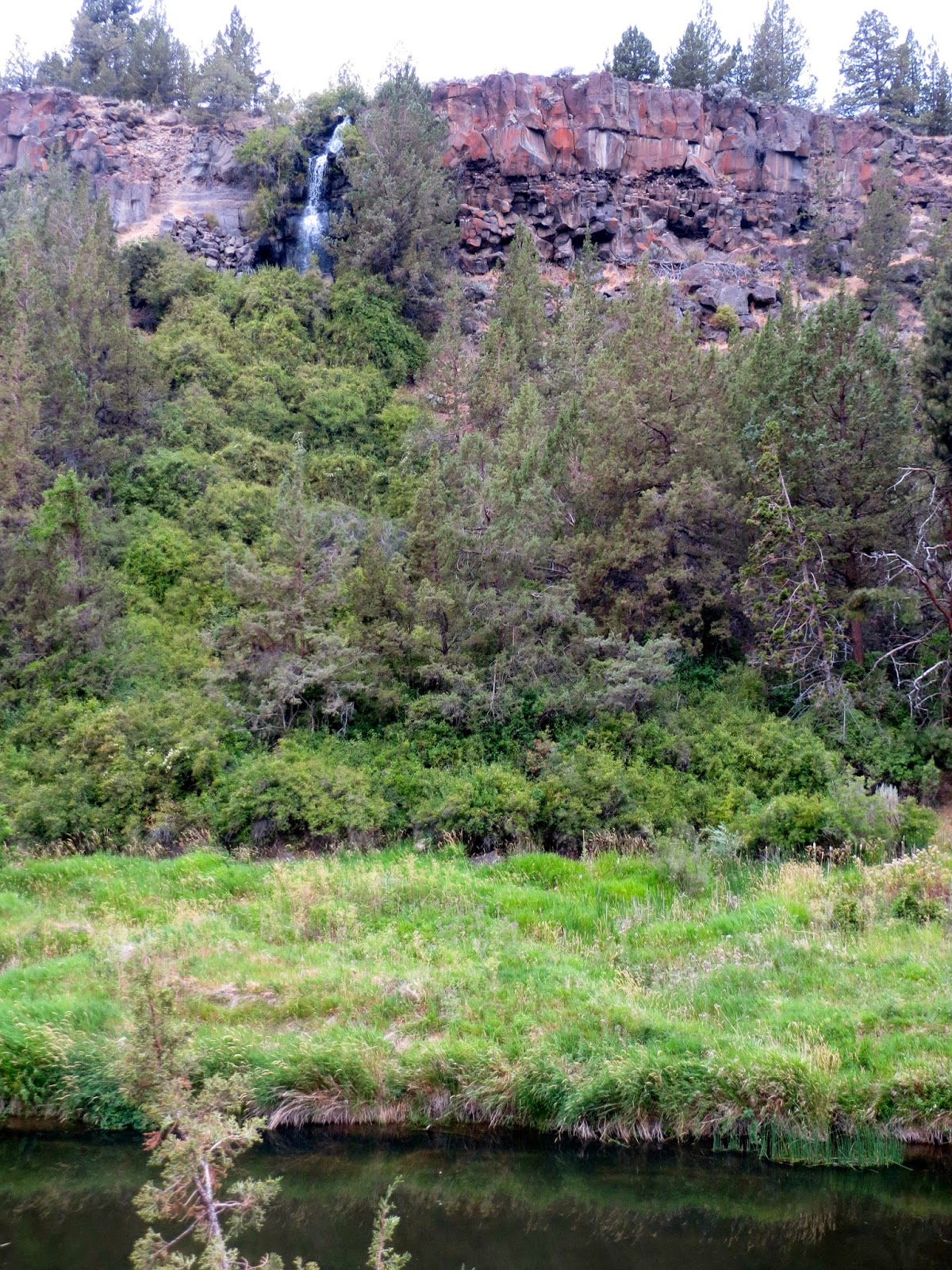
Smith Rock State Park is north of Bend in central Oregon, we decided to visit since we were originally the Smith Sisters! This is a large rock formation well known to rock climbers.
 Since we are not rock climbers, we choose to hike on some of the trails over and around Smith Rock. We would hike about 3.5 miles with an elevation gain of about 900 ft. We started going down "the Chute", a short steep trail down to and across the Crooked River.
 Then we climbed up the Misery Ridge Trail, we climbs up and around Picnic Lunch Wall and REd Wall. This portion of the trail ascends 700 ft in 1/3 of a mile.
We would see hikers along many of the "walls" as we continued hiking.
As we climbed up Misery Ridge, we could see along the Crooked River to the eastern portion of Smith Rock to Monument and Staender Ridge.
We saw falcons flying above the ridge, here part of the ridge looks like a falcon image.
Looking up at an out cropping near the top of Misery Ridge.
From the out cropping on Misery Ridge, looking down on the steep portion of the trail we have finished.
On the top of Misery Ridge, looking west to the Cascade Mountains, directly behind us are the "Three Sister Mountains" of Oregon.
Looking towards the southern tip of Smith Rock, we will descend down the other side of Misery Ridge to the Mesa Verde Trail and on to the River Trail, which will take us all around this southern tip and back to the bridge and "the Chute" up to the parking lot.

Coming down Misery Ridge, we would hike around "Monkey Face" where we watched several climbers.
As we walked down the path, we could see how this rock formation looked like a monkey's face.
The trail down Misery Ridge was also very steep.
We also saw deer on the other side of the river,
 |
 and some river otters playing in the river.


No comments:
Post a Comment