We drove up to Paradise to snowshoe and the clouds were so low, it seemed as there could be white out conditions. We decided to drive down to the Narada Falls parking area to do the lower Mazama Ridge Loop Trail if conditions appeared favorable, otherwise snowshoe out to Reflection Lakes and back. The conditions today were temperature in the upper 20sF and low avalanche conditions below tree level, moderate at tree level and above. We ended up snowshoeing about 5.75 miles with 1,150 ft of gain.
 View from the Narada Falls parking area looking down and seeing the Paradise River completely covered in snow as it flows out towards Narada Falls.
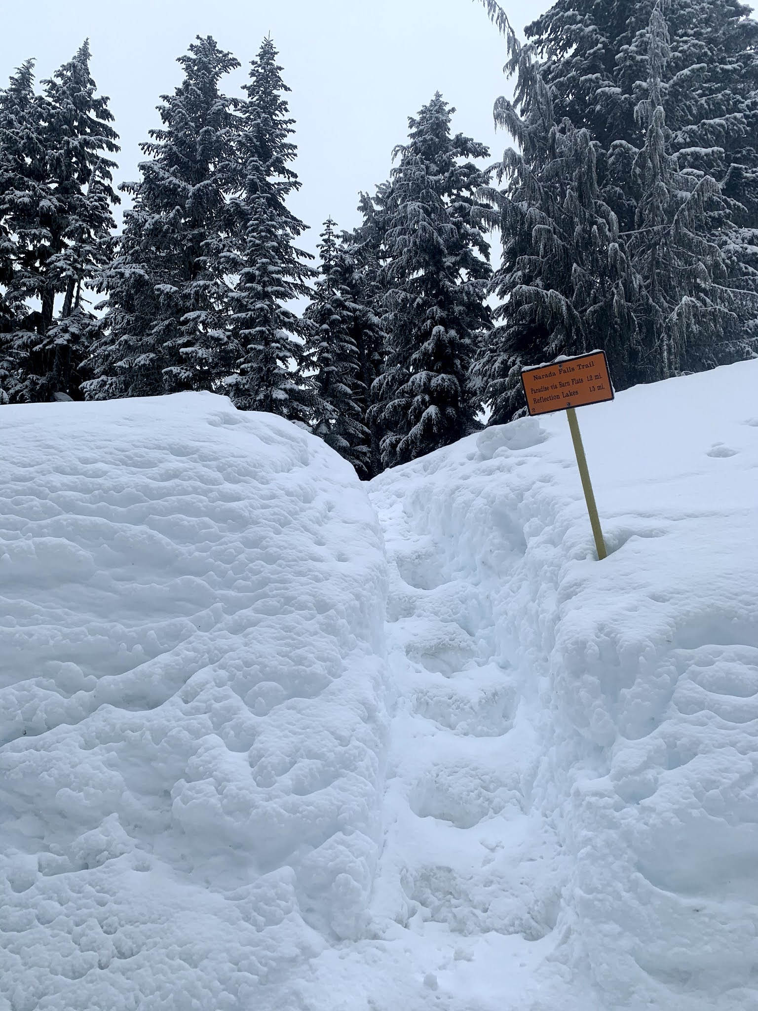 The way up to the trail head was very high and steep today. Someone had cut large steps into the snow. The route up to the close Stevens Canyon Road was well packed down with a thin layer of fresh snow on top.
 We took a short side jaunt to view a very snow covered Ruby Falls.
 We attempted to take the closed Stevens Canyon Road out to Reflection Lakes, but the area nearing Inspiration Point was covered in steep snow (we could not see where the road should be) with a very steep exposed slope. We decided to turn back and take the forested route up to Inspiration Saddle.
 Up at Inspiration Saddle, the clouds appeared to be rising, so we opted to head up to Mazama Ridge and do the loop option. Here there was more fresh snow over the packed "trail" from last week.
 Some critter was out on the fresh trail before us this morning.
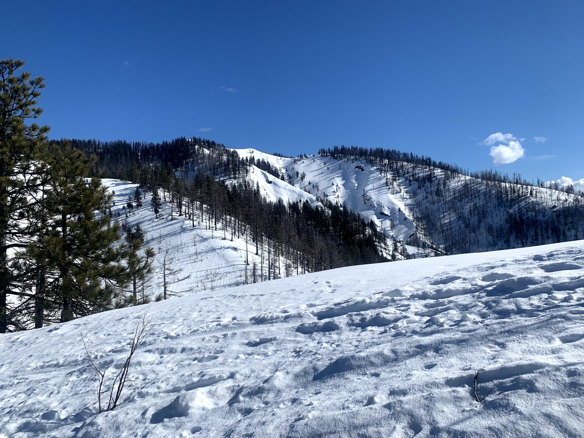
 From the trailhead, up Mazama Ridge and down to the bottom of the 4th Crossing Trail, we saw no other people.
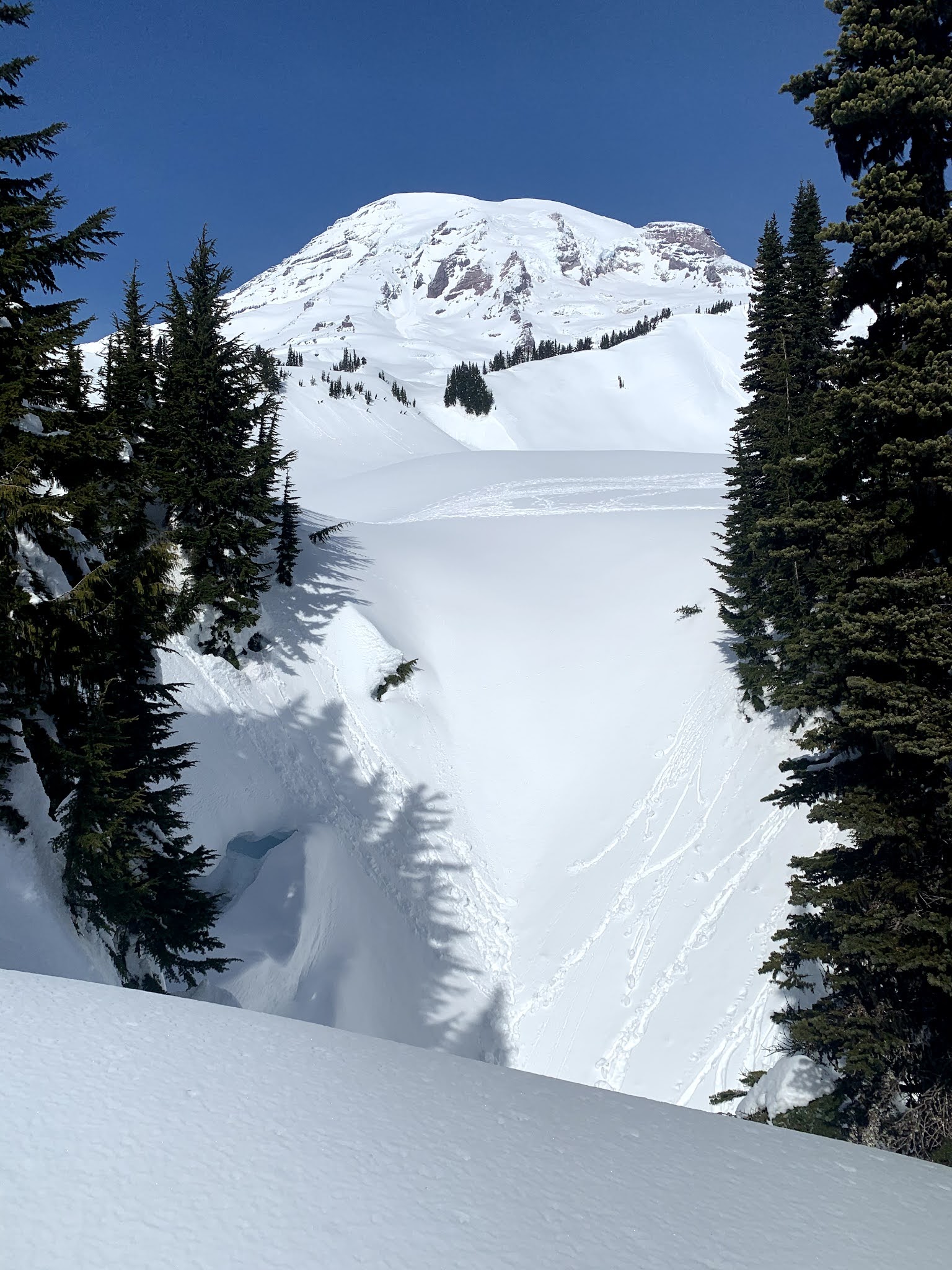
 Some large cornices up on Mazama Ridge
 It was so peaceful out her today.
 Loved the fresh snow on the branches.
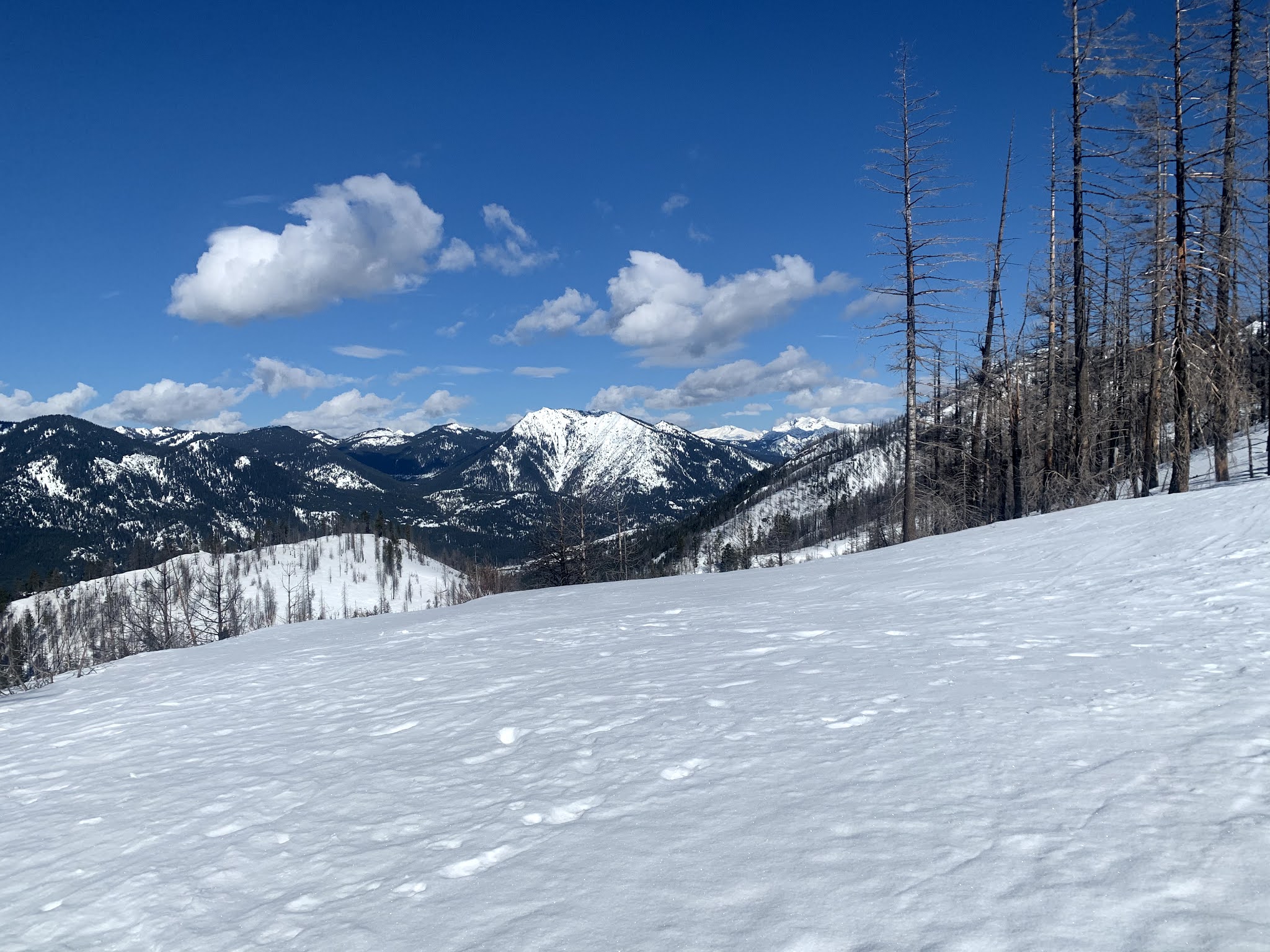
 Heading down 4th Crossing, the clouds became thicker, no views of Mt Rainier today.
 We opted to take the closed Paradise Valley Road back down to the closed Stevens Canyon Road, rather than head over to Paradise and down the lakes trail. Here we came across 3 other snowshoers. The only people we saw until we were back at the Narada Falls parking area.
 Looking across Paradise Valley to the Paradise Inn up on the ridge.