
 We drove up FR 39 off of Mt Baker Highway to do the Heliotrope Trail to the Glacier Overlook of the Coleman Glacier today. This is a 5 mile round trip hike with 1,800 ft of gain. We got a bit off track and ended up hiking 5.5 miles with 2,200 ft of gain. (photo of the lower end of the Coleman Glacier)
 The trail starts in the forest and crosses a bridge over Grouse Creek and enters the Baker Wilderness
 Most of the hike is through the forest
 The trail crosses several creeks, this waterfall was barely a trickle.
 Trail crossing over Kulshan Creek
 After going up several switchbacks, we saw these falls further up Kulshan Creek.
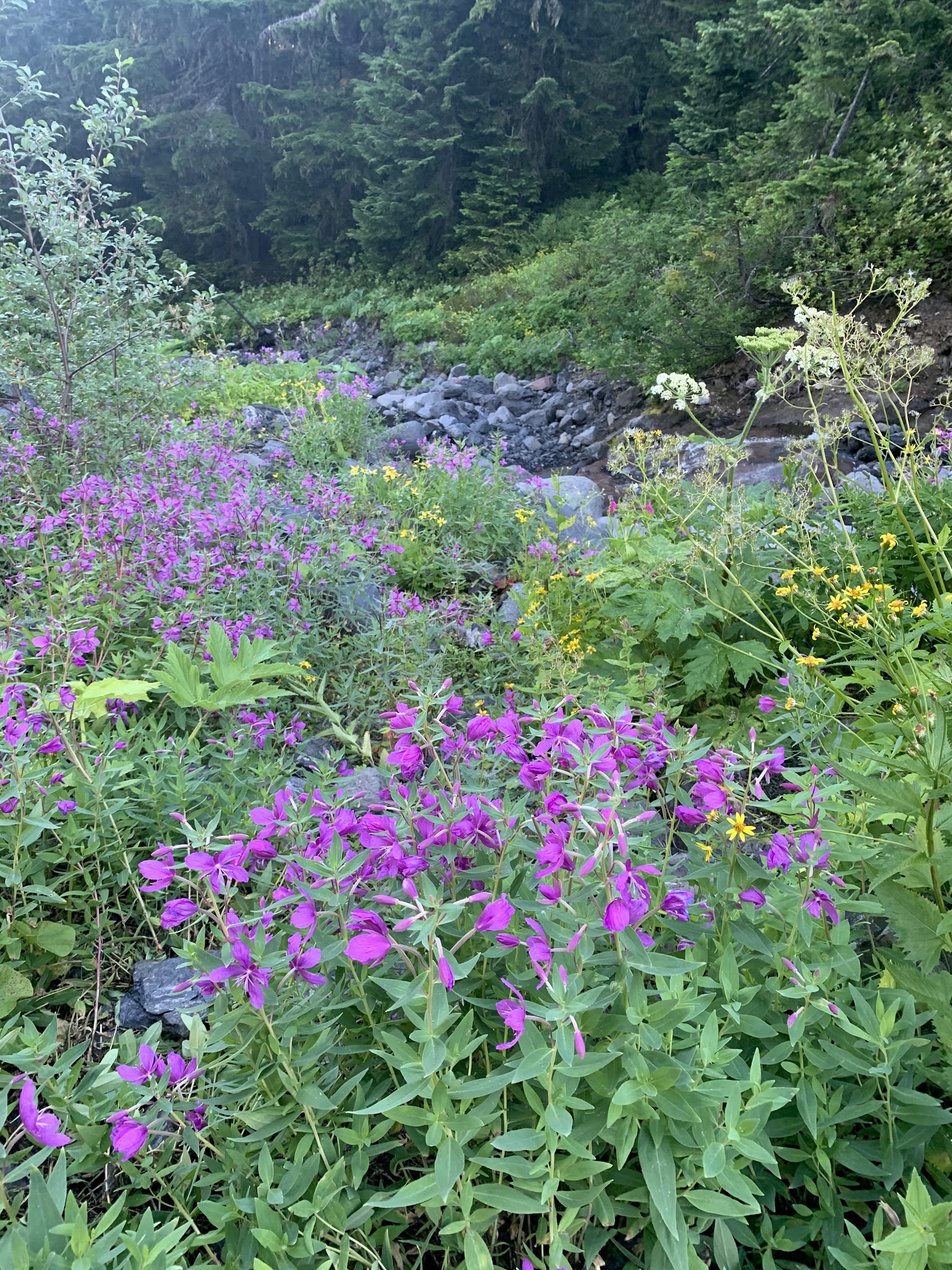 Along the upper trail we passed several areas with wildflowers.


 We were able to step on the boulders going across Heliotrope Creek.
 Soon after crossing Heliotrope Creek, we began to see Mt Baker.
 Near the end of the trail there are many boot tracks, we didn't realize we had gotten off of the main trail and started going up this steep hill.
 We had some nice views, but realized we were going away from the glacier instead of closer to it.
 After going up 400 ft in 1/4 of a mile, we headed back down he hill to find the trail crossing the creek.
 One trail took us to this great view of Mt Baker and the Coleman Glacier.
 Looking at Coleman Glacier
 We found another trail that led up over this ridge,
that led us to (what we think is) the Glacier Overlook:

zoom of Mt Baker and the higher portions of the Coleman Glacier

marmot

fireweed lit up by the late morning sun

We found an easier spot to cross Heliotrope Creek on the way back down the trail.


some of the fungi and wildflowers we saw along the trail today:


