In honor of of the NPS 101st Birthday, I headed up to Paradise on Mt Rainier to hike the High Skyline Loop Trail. 5.5 miles with 1,700 ft of gain. Although the wildflowers were well past the peak of the season, there were still plenty of flowers.
I decided to do this hike counterclockwise and headed out past the Paradise Inn. I wouldn't see another hiker for over 2 miles. These two deer were just above the trail near the inn.
The trail is paved for a short ways.
At 0.3 miles, there is a short spur trail overlooking Myrtle Falls.
View of Mt Rainier from the bridge above Myrtle Falls.
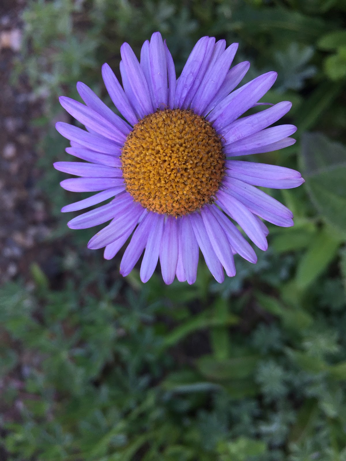
There were some fields of asters
and subalpine daisies. Tatoosh Range in the distance looking down Paradise Valley
There are several small creeks heading up past 4th Crossing.
Mother and baby marmot
Fields of flowers on the way up Mazama Ridge.
Lupine
A little more than 1.5 miles from Paradise Inn, the trail drops down a little bit to cross the creeks coming off of Paradise Glacier. Lots of monkey flowers near the creeks
Heading up the steps towards the junction with the Golden Gate trail, this marmot was enjoying the morning sun.
marmot nibbling on lupine
I enjoyed the views walking towards Mt Rainier going counterclockwise on the Skyline Trail today.

beargrass
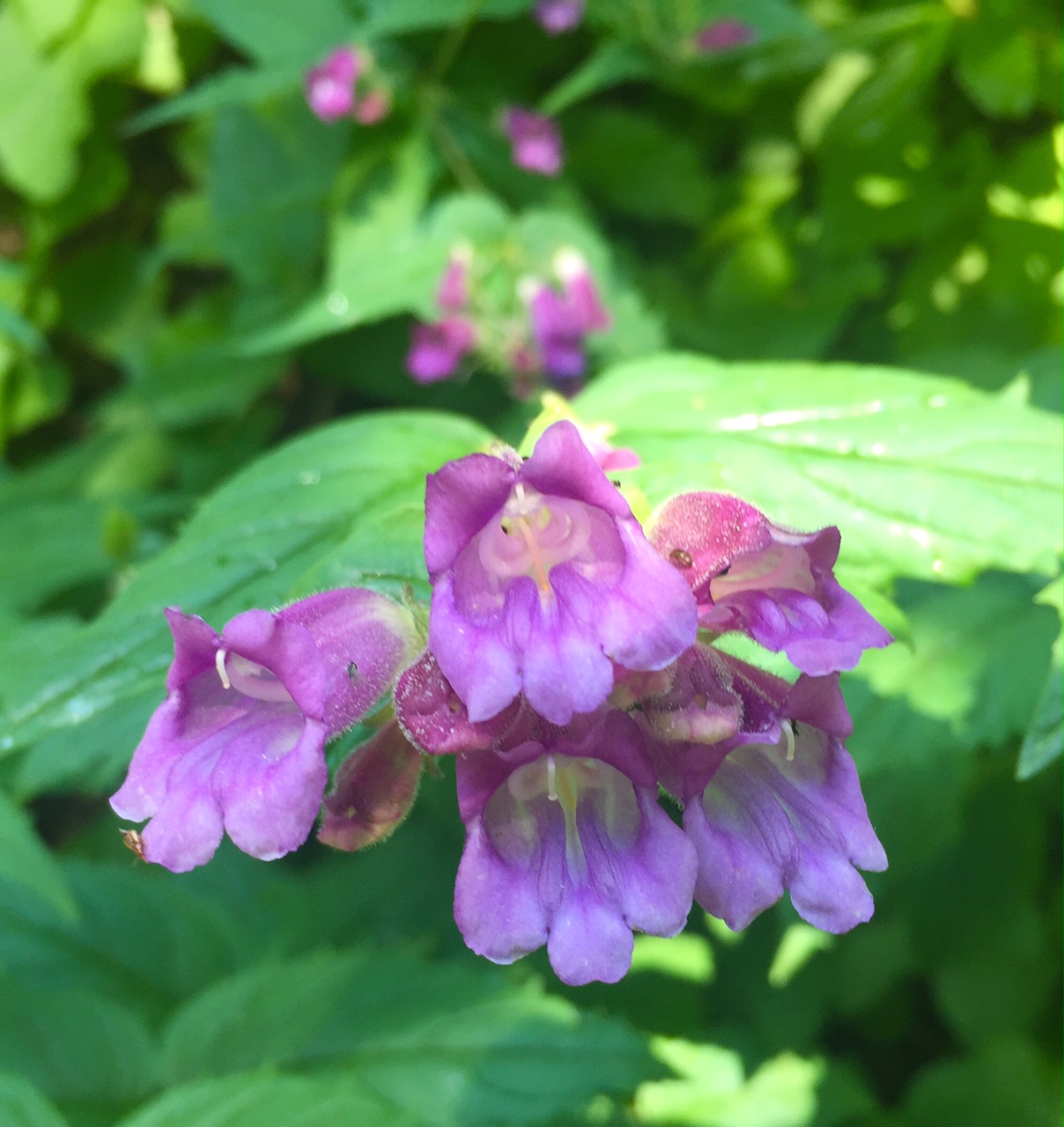
mixture of wildflowers
lousewort
fireweed and a melting snow field
paintbrush
view of the trail above Golden Gate and Edith Creek looking across to the Tatoosh Range.

Peaking across the Tatoosh Range are the Goat Rocks, Mt Adams, Mt Hood and Mt St Helens
zoom of Mt Hood


There was one small snow field to cross on the High Skyline Trail. It was a bit icy this morning, I was glad I had my poles.

Mt Rainier: there were lots of crevasses on the Nisqually Glacier.
On the trail looking down at Panorama Point and Paradise; across to the Tatoosh Range with Mt Adams, Mt Hood and Mt St Helens in the distance.

On the switchbacks descending from Panorama Point.
I choose to take the Glacier Vista and Deadhorse Creek Trails coming down as off shoots from the Skyline Trail. Here a marmot is posing in front of Mt Rainer.
Looking back along the lower Skyline Trail.
There were lots of chipmunks and ground squirrels along the trail.
Steps near the Visitor Center with John Muir quote at the other end of the Skyline Loop Trail.
Some of the wildflowers along the trail today:


 In honor of of the NPS 101st Birthday, I headed up to Paradise on Mt Rainier to hike the High Skyline Loop Trail. 5.5 miles with 1,700 ft of gain. Although the wildflowers were well past the peak of the season, there were still plenty of flowers.


 Peaking across the Tatoosh Range are the Goat Rocks, Mt Adams, Mt Hood and Mt St Helens


 On the switchbacks descending from Panorama Point.