
Today we went up to Mt Rainier National Park on the Longmire side of the park, but turned up the Westside Road soon after entering the park. We would hike up the road from the closure to the Tahoma Creek Trail up to the Tahoma Suspension Bridge, then returned over the bridge up the Wonderland Trail to Emerald Ridge. Then returned back the way we came (without going back over the suspension bridge). This was a 13 mile hike with a total elevation gain of 3,178 ft.

The road walk goes past a large rock field where boulders fell onto the road last year.

We walked passed Mt Wow, where we saw 5 goats high up on the south side.
Most of the road walk is in the woods, we did see a deer cross in front of us.

There were a couple of places where we had glimpses of Mt Rainier and the Tahoma Creek from the road walk.
About 1.5 mile up the road from the closure, and where the road takes a large U turn, is the Tahoma Creek Trail, this is an "unmaintained" trail, so there is no sign along the road. Earlier, there had been a piece of wood with "bridge" carved on it. We did not see the sign today, but there was a waste can located just before the trail today.

The Tahoma Creek Trail starts in the woods, then soon goes along the rocks of the creek bed with occasional views of Mt Rainier. There are small markers and/or cairns marking the way along the creek.
Some places had both flag markers and cairns where the trail returns back into the forest.
In the woods, there were a variety of log bridges, some in disrepair.
There were 3 areas where the trail climbs steeply up the hillside from the side of the creek bed. These will be slippery on wet days.
In some areas, the trail opened up and continued higher up the bank.
We did find a large smooth tree down that the safest way seemed to be crawling underneath.

Near the end of the Tahoma Creek Trail we saw a nice cascading stream and
a small waterfall.
After 2.2 miles, the Tahoma Creek Trail joins the Wonderland Trail. To the left, toward the north and Emerald Ridge, to the right the trail goes south to the suspension bridge. We headed south to the bridge about 1/8 mile from the sign to crossing the bridge.
The Tahoma Creek Suspension Bridge is 200 ft long and is 165 feet above Tahoma Creek.
The bridge undulates as you walk across, so it is recommended that only one person crosses at a time.
Looking up Tahoma Creek from the suspension bridge
Shortly up the Wonderland Trail from the suspension bridge is a nice view of Mt Rainier.
We returned across the suspension bridge and began the steep trail up to Emerald Ridge. This section is 1.9 miles with about 1,400 ft of elevation gain.
As we began hiking up to Emerald Ridge, we soon found a break in the trees where we could look back down at the Tahoma Creek Suspension Bridge (on the right in the photo).
The trail climbs up through the forest. We found down trees that were easy to cross.
Hiked passed some large boilers.
and did reach an area where we could see Mt Rainier before the clouds came and covered the summit.
The trail then opens up as it climbs up Emerald Ridge. There will be great views of the Mt Rainier on a clear day.
We could see ahead that there would be good views of Tahoma Glacier and waterfalls coming off the glacier.

The last stretch of the trail climbs steeply up to the top of Emerald Ridge, going past a rocky field where we saw 3 marmots running among the rocks.
From the Wonderland Trail, there is a spur trail up to a hill on Emerald Ridge. We hiked up to take a lunch break and enjoy the views among the wildflowers.
Panorama looking to the north, Tahoma Glacier on Mt Rainier to the right

Panorama looking south, Mt Rainier in the clouds on the left, Pyramid Peak in the center.
To the west, Emerald Ridge partially covered in wildflowers and partially covered in snow.

Zoom of waterfall coming off of Tahoma Glacier
Crevices on Tahoma Glacier
When we were nearing the end of our hike back to the car, we noticed a waterfall coming off of Mt Wow, that we had missed on the way up.
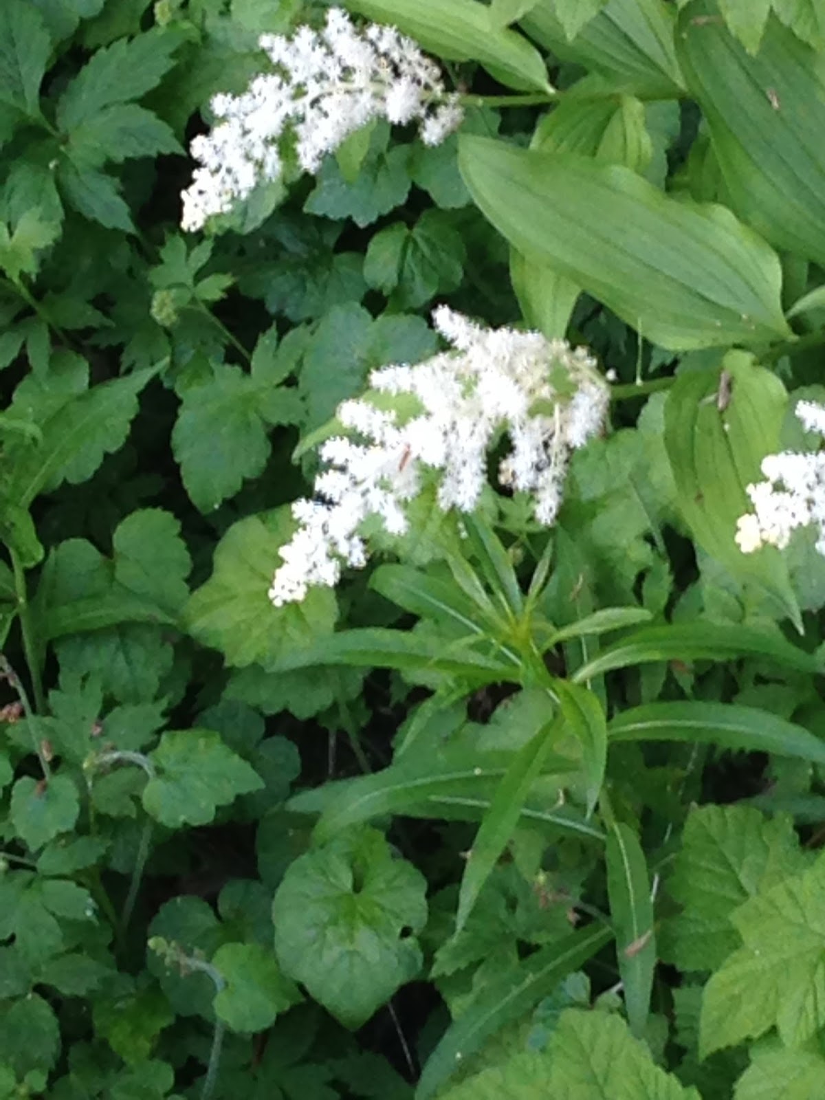
Some of the wildflowers we saw in bloom today:


 We hiked up to Shriner Peak today in Mt Rainier National Park. This trail is on the east side of the park off of Hwy 123, between the 8 - 9 mile marker signs. The trail is 9 miles rt with about 3400 ft elev gain.
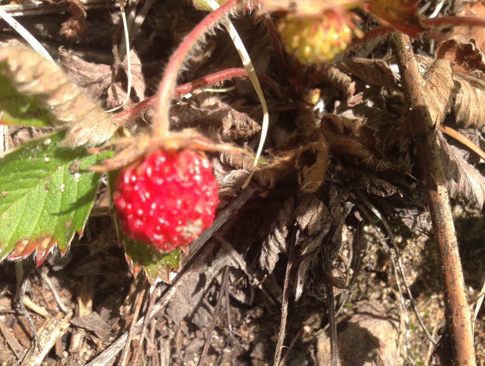


 The trail next goes in and out of wooded areas and open meadows. Looking down and the meadows from above.

 There were several ground squirrels to be seen.
 As the trail rose, there were more frequent open areas to look across at Mt Rainier.
 The fire lookout is a great place to admire the 360 degree views and to eat lunch.


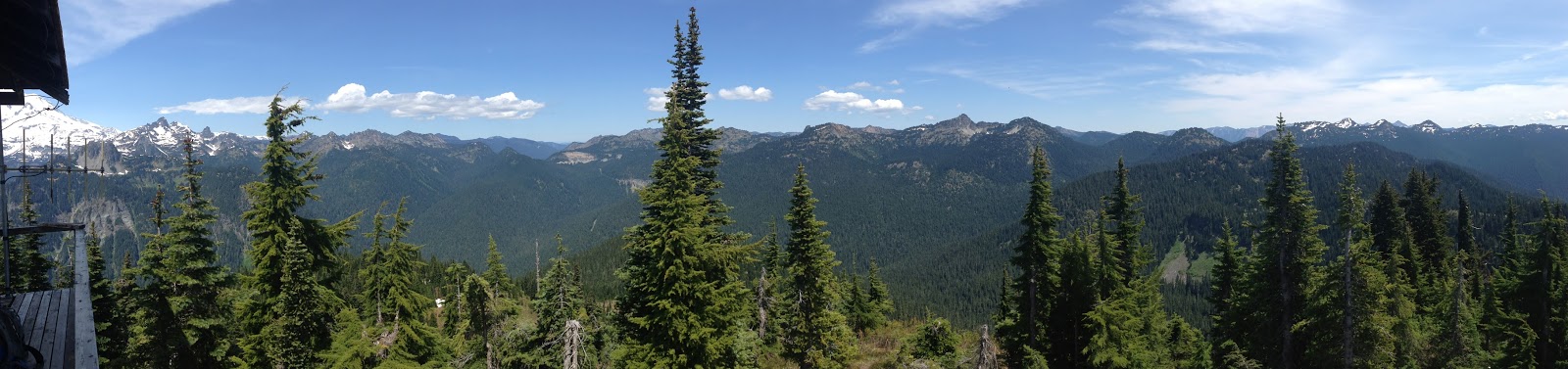


 I never tire of looking at "our mountain"


