Sunday, November 25, 2012

Snowshoe to Panorama Point and Myrtle Falls on Mt Rainier

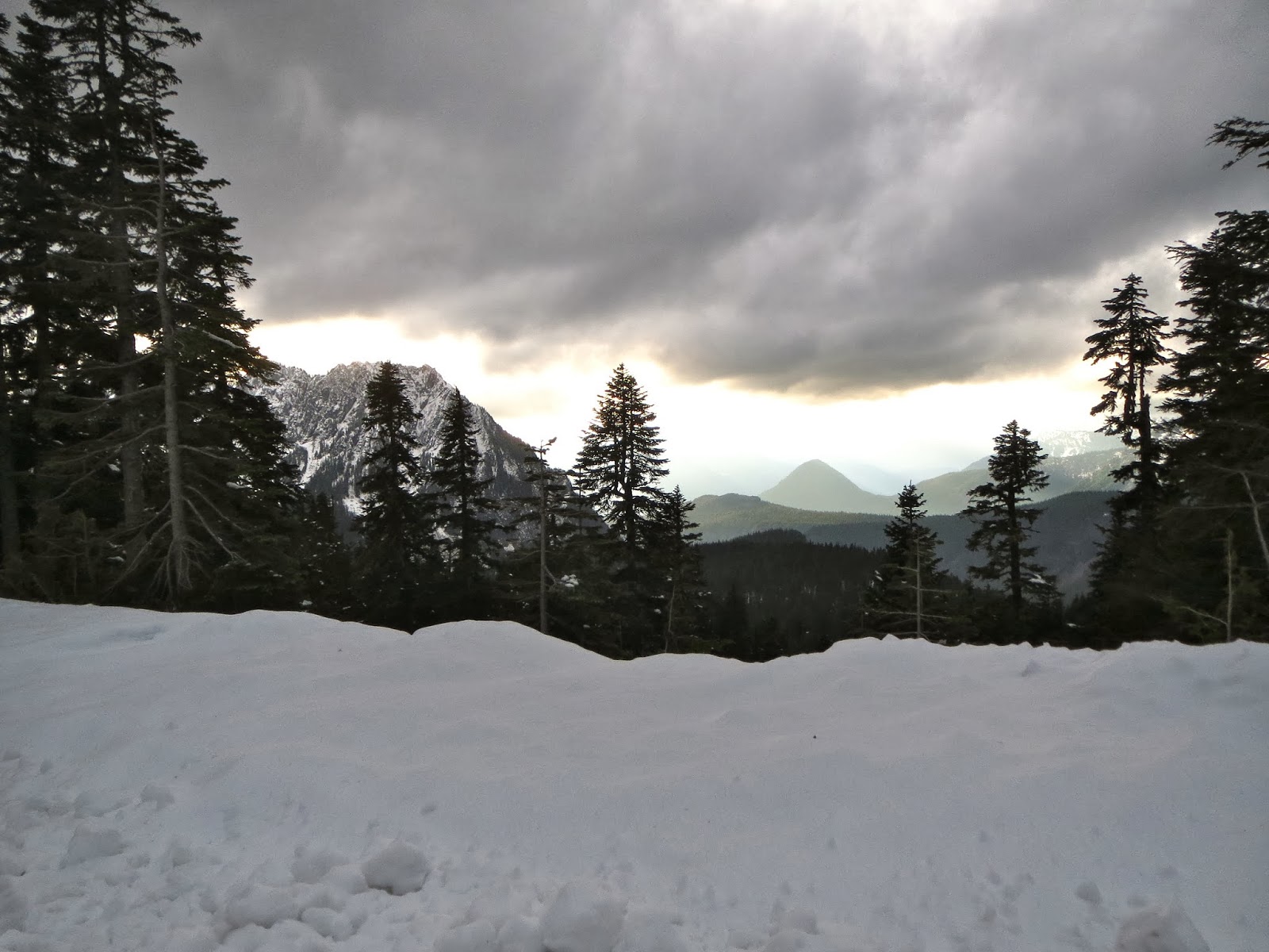
Beautiful day with low avalanche risk, hoped to hike the Skyline Trail at Paradise on Mt Rainier.
 Took the Alta Vista Trail toward Panorama Point
 Snowshoes off and Yak trax on to climb up to Panorama Point
 Fabulous views at Panorama Point
 Then we hiked up to the High Skyline Trail
 From the High Skyline Trail we could see Mt Adams, Mt Hood & Mt St Helens
 Unable to continue across the Skyline Trail because of ice, so we returned the way we came
 Glissading down the steep parts!
 Since there was still lots of daylight, snowshoed over to Glacier Vista,
Then back to Paradise and around the other side 
 to Myrtle Falls.
 Back to the parceling lot in time to watch the moon rise.
Fabulous day out in the snow!

Friday, November 16, 2012

Lakes Loop Snowshoe on Mt Rainier

We decided to head up to Paradise on Mt Rainier for our first snowshoe hike in many years. 
When there is no snow the Lakes hike is a 5 mile loop with about 1400 ft elevation gain overall.
Because there was only a couple of feet of snow and no avalanche danger, 
we were able to follow the summer trail.
There were high clouds covering the peak, but the overall visibility was good.
We had great views of the Tatoosh Range all day.
 The falls look beautiful in the snow.
 Get a good workout climbing up to Mazama Ridge.
 We were able to find the trail signs, even though there was no trail.
 Stopped to eat lunch by one of the small lakes up on Mazama Ridge.
 Overlook of Lake Louise on the way down Mazama Ridge
 The Reflection Lakes were frozen, because of the geothermal activity on Mt Rainier,
the ice is never thick enough to walk on.
 We had several log bridges to cross over the many creeks
 

We snowshoed the entire loop without seeing anyone, we did see wild cat and fox prints in the snow.
Storm clouds came in as we were leaving the park.

Friday, November 9, 2012

Rampart Ridge at Mt Rainier

There was too much snow up at Paradise this weekend for hiking (we hadn't bought snowshoes yet)
so we parked the car at Longmire and headed up the Wonderland Trail toward Rampart Ridge.
 We saw a light dusting of snow early on.
We were able to see a couple of small waterfalls amid the trees.


When we reached the ridge, we headed away from the loop trail
and headed up the Van Trump Park Trail, hoping to extend our time outdoors.
We hiked along the trail for about a mile and maybe an additional 300 ft elevation gain.
 We turned around when the snow became deep enough to obliterate the trail.
We continued down to the Rampart Ridge Trail to complete the loop hike.
Most of the hike was in the woods, but there were a couple of view points.
Looking toward Mt Rainier, mostly covered in clouds.
 On the other side of the ridge, looking down toward Longmire.
It is always a good day, when we can be outside hiking!

Saturday, October 13, 2012

Fife's Ridge Washington

This Fife's Ridge hike was a last minute decision, it was raining hard on the west side of the Cascade Mountains, first we cancelled our hike, then decided let's head to the east side of the Cascades.
We went hoping to see the Larches turned yellow.
This hike is 8 mile round trip with 3100 ft elevation gain.
We found the trailhead sign nailed to a tree near the parking area near Hwy 410. 
This is the only sign we saw along the trail, a trail that would disappear.
 Most of the trail was in the forest. Part way up the trail, we found a ledge with some limited views.
 We saw yellow larches across the valley.
 After this, the hike became a lot steeper and we lost the trail among animal tracks and rocks.
We continued to head uphill and hike by many interesting rock formations.
 I didn't make it to the top of the Ridge (almost), Barbara is a stronger hiker, so she went scouting ahead. The clouds were so thick and it had begun to rain, so there was no view that afternoon.
It was getting late, and we wanted to reach the car before dark, so we turned around before I got to the   ridge. I took this picture of what I think is Fife's Peaks earlier in the hike.
 We got a good workout, and enjoyed our day outside,
and the rain was much lighter on this side of the mountains. 
We saw lots of larches along the side of the highway.


Friday, October 5, 2012

Shriner Peak Hike at Mt Rainier

A beautiful hike on the East side of Mt Rainier National Park. There is only one trail up and back on Shriner Peak, so no getting lost. It is a steep hike 8 mile round trip with an elevation gain of 3,434 feet
 After 1.5 miles through the forest, the area opens up in an old forest fire area. 
My husband and I enjoyed the fall foliage as we climbed up the trail.
 As the trail climbs, you begin to see glimpses of Mt Rainier
 Some portions of the trail have steps
We didn't "see" any wildlife, but we saw fresh cougar tracks and heard elk bugling
 The panoramic view from the top of Shriner Peak is fabulous!
 Although the day was hazy, we saw Mt Adams to the South. 
On a clearer day, Mt St Helens & Mt Hood are also visible.

Wednesday, September 26, 2012

Fall High Skyline loop hike on Mt Rainier

Beautiful fall day, we headed up to Mt Rainier to revisit the High Skyline Loop Trail.  
We would hike about 6 miles with about 2000 ft total elevation gain. 
We again parked in the lower parking lot and followed the Dead Horse Trail 
up towards the Skyline Loop Trail and saw deer on the way among the last of the wildflower.
Along Dead Horse Trail, with fabulous views of Mt Rainier
The trail steeps when we joined the Skyline Trail. We saw a marmot along the way.


On the way up, we did the side trail to Glacier Vista for a fabulous view.
The steps up to Panorama Point are steep.
Wonderful view from Panorama Point, haze is due to forest fires to the south
The High Skyline Trail takes you between the large rocks and Mt Rainier 
for wonderful views of the mountain.
Wonderful fall foliage.
 Heading back to Paradise.
 Myrtle Falls